The moxham mountain hike – a great hike in the Southern Adirondacks
What up my Road Trip Warriors! This post will take you along an awesome, lesser known hike in the Central Adirondacks! Moxham Mountain is roughly a 6-7 mile hike located near Minerva, New York. The hike offers numerous scenic outlooks and the summit provides commanding views of the region. If this hike interests you then check out everything you need to know about the trail and what you will need below!
Summary of the moxham mountain hike
- Difficulty: Easy
- Length: According to my Apple Watch, hike is about 6.5 – 7 miles long
- Elevation: 2,464′
- Hiking Time: 2-4 hours depending on speed of ascent and how much time spent on the summit
- Elevation Gain: Between 1,100′ and 1,200′
- Photo Opportunities: There are 11 scenic outlooks on this hike and the summit itself provides phenomenal views of the Adirondack wetlands below. Any one of these outlooks is great for photographs, but the summit itself is something special where you will want to take most of your photos and videos.
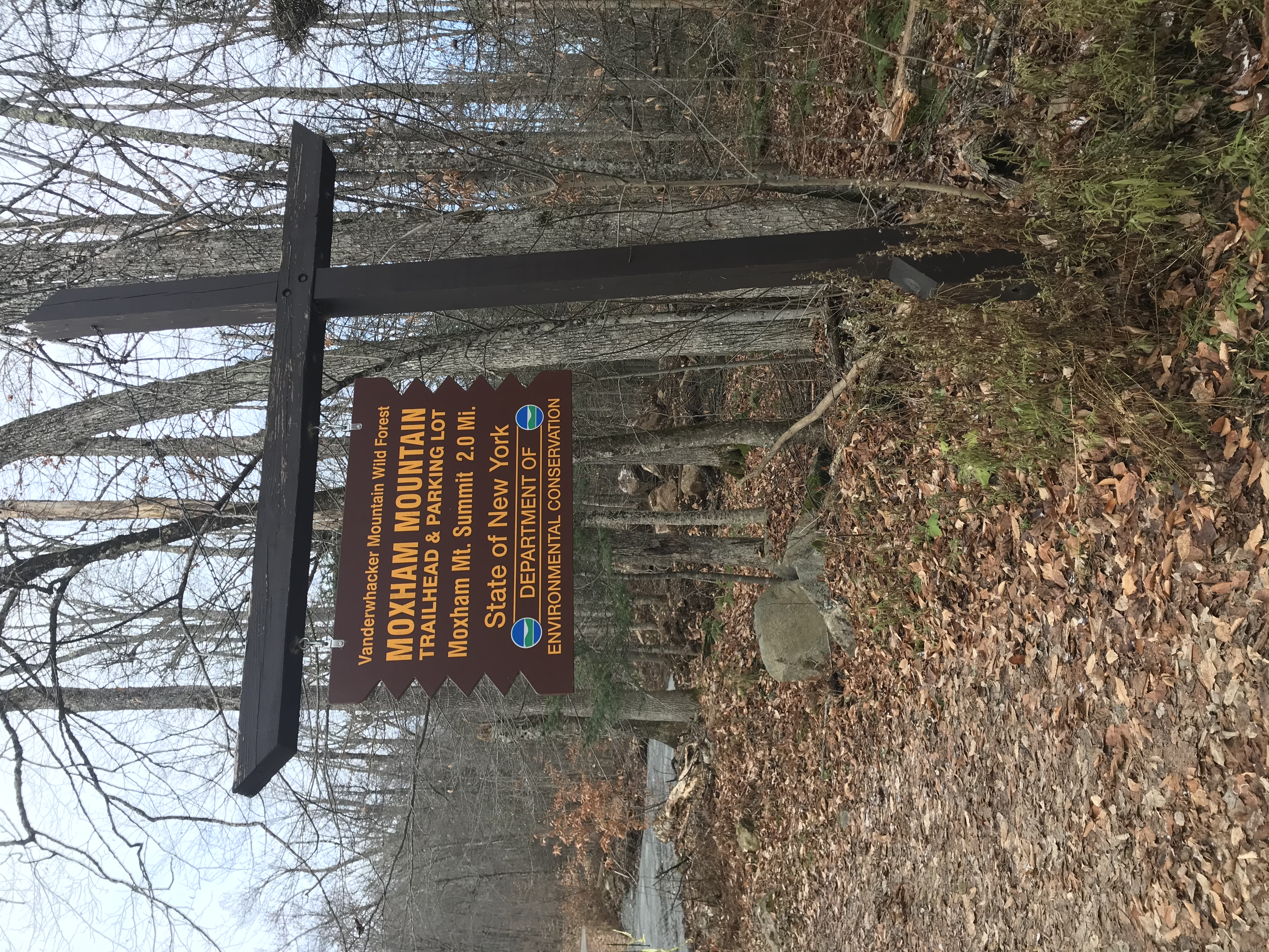
trailhead
The Moxham Mountain trailhead is located at the end of Fourteenth Road in Minerva, New York. The road was well-maintained and did not include many potholes. There was one steep decline/incline depending on if you are going to or leaving the trail. There is a large wooden sign that is hard to miss. See photo of the trailhead sign below.
Following the trail
The trail is well-marked and easy to follow along. The trail markers are yellow as seen below. The beginning of the trail is a gradual ascent through the woods. Roots and rocks cover the trail along with a bedding of pine needles. As the trail gets steeper, the overlooks occur more often and the summit of the mountain will come into sight.

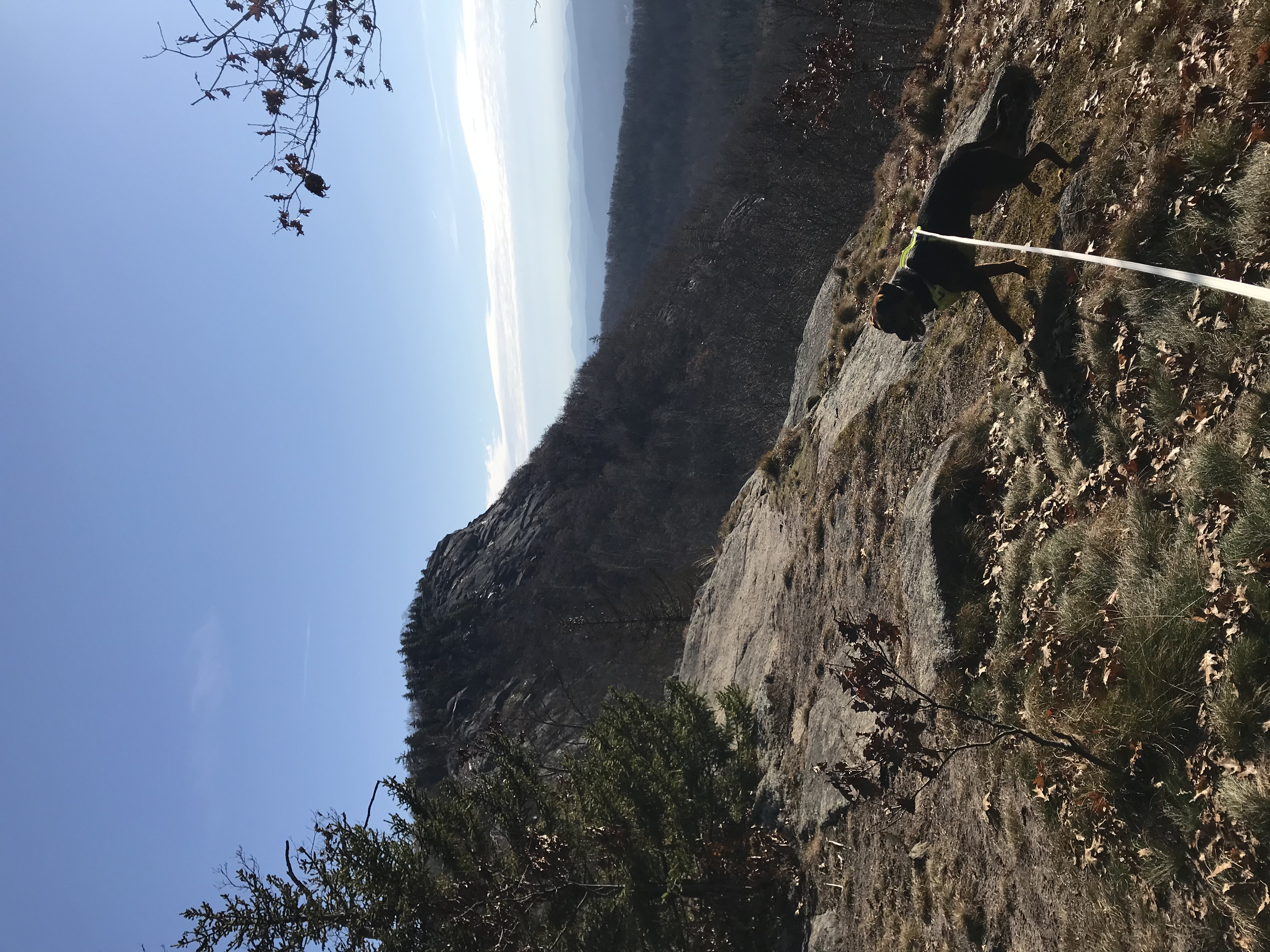
The final, long ascent
Once the mountain comes into view, it is a pretty steep hike up. The views will start to break through the opening tree line revealing the wetlands below. It is very pretty and it is surprising how vast the scenes are despite it being one of the mountains with a lower elevation in the Adirondacks.
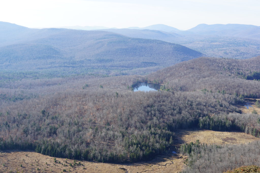
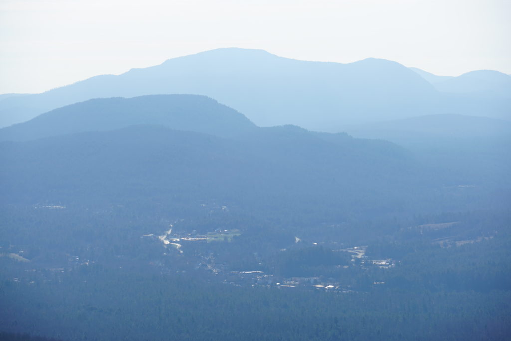
Moxham mountain summit
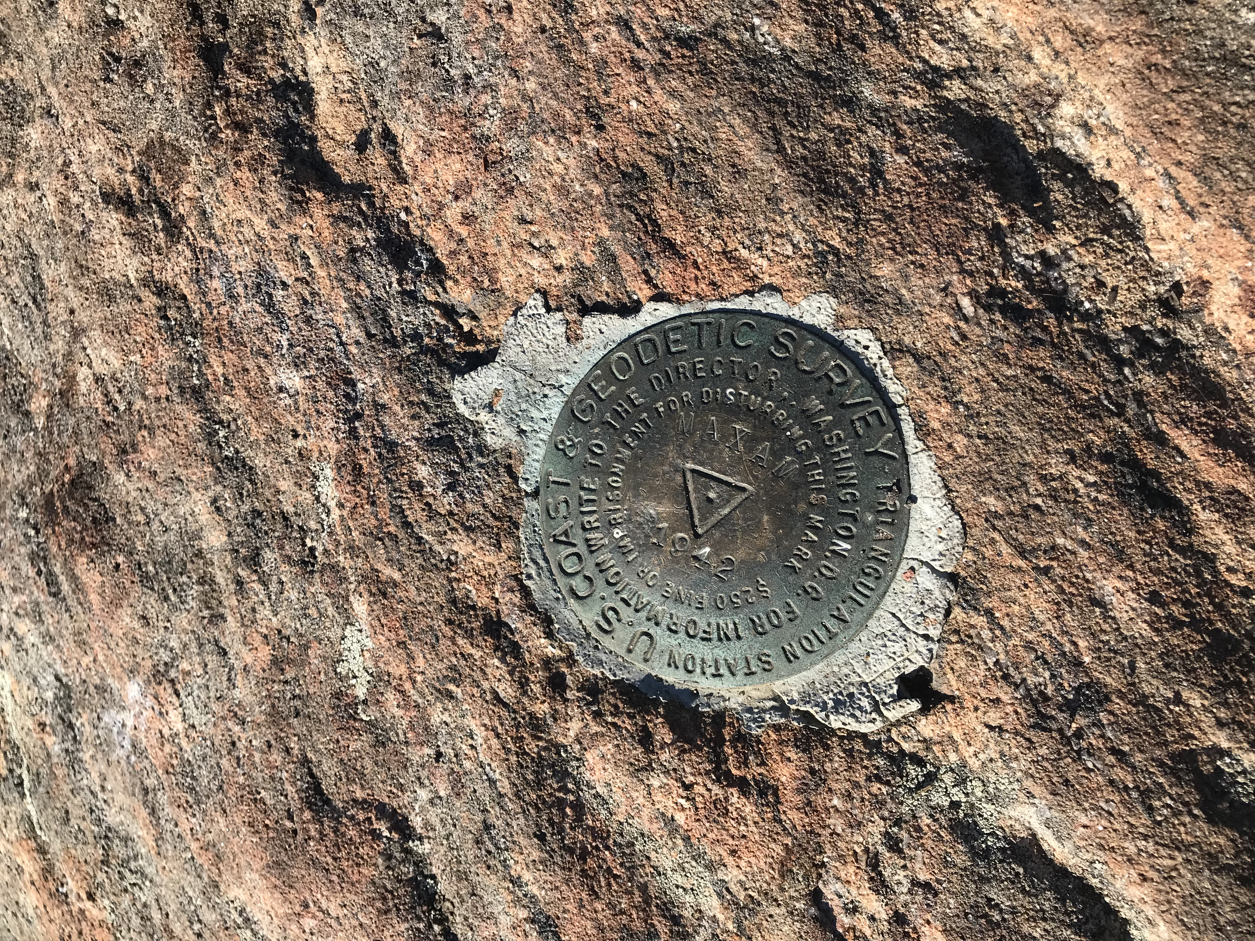
The summit of Moxham Mountain is awesome with its peak providing views of the wetlands and pond down below. The summit is rocky, open, and has plenty of space to walk around and check out different vantage points. There is a geological marker that has the mountain’s name misspelled as “Maxam.” See below for the Adirondack wilderness viewed from the top and the misspelled marker!
Back to the trailhead
Being that this mountain is an out-and-back hike, you will want to follow the same trail you hiked along for your descent.
Dog-Friendly
Moxham Mountain is a dog-friendly hike with no technical areas that would be difficult for your furry trail companion. It is a good distance for dogs and they will enjoy the exercise.
fam-friendly
This hike is family-friendly. The distance is manageable and the elevation gain is tolerable at somewhere between 1,100 and 1,200 feet. It can get a little slippery during the colder months towards the summit so do not stray too close to the ledge.
Clothes/Gear worn
- Timberland Hiking Boots
- EMS Hiking Socks
- Athletic Shorts
- Hiking Pants
- Underarmour long-sleeve
- Athletic t-shirt
- Windbreaker
- LL Bean Outer Shell Jacket (worn when needed)
- Outdoor Research Glove Liners
- Winter Beanie
Equipment/Food Brought on Moxham mountain
- 2L of water
- Peanut Butter Granola Bars and Trail Mix
- Extra Pair of EMS Hiking Socks
- Bandana
- Emergency Tent and Blankets (lightweight options are available)
- Knife
- Paracord and Non-Climbing Carabiners
- Waterproof Matches
- Life-Straw (water filtration straw, costs about $20)
- Trekking Poles
- First Aid Kit
- Kahtoola Microspikes
- Garmin InReach (satellite device that has GPS, can send texts, send SOS, and has many other useful features)
Additional Hikes in the Adirondacks
RTW Note
Hey Road Trip Warriors, thank you for checking out this post on Moxham Mountain! It is a great hike and I encourage you to hop on the trail if you are in the area! If you found this post helpful or enjoyed the photos, please share it with your friends! Make sure to carry out what you carry in and take lots of photos!