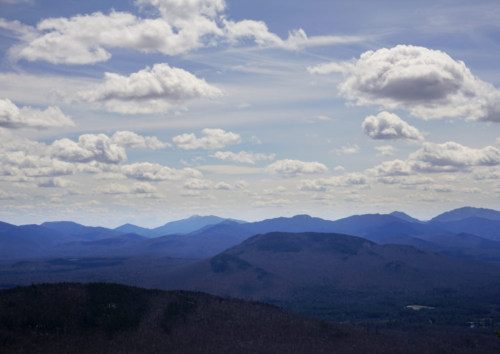
Final Saranac 6er!
What up Road Trip Warriors!? I recently hiked McKenzie Mountain and it was my last Saranac 6er! This was exciting as I finally finished an Adirondack hiking challenge! This hike is definitely the most difficult out of all the Saranac 6er mountains. We hiked it on May 2nd, 2020. We didn’t bring our micro-spikes and this turned out to be a poor decision considering the amount of ice we encountered…anyway, here’s all the stats and info you need to know about this mountain!
Summary of McKenzie Mountain
- Difficulty: Moderate – Strenuous
- Length: 5.3 miles to summit, 10.6 miles round trip
- Elevation: 3,822′ above sea level
- Hiking Time: 7-8 hours
- Elevation Gain: Approximately 2,340′ according to Saranaclake.com
- Photo Opportunities: There are a few lookouts as you get higher up the mountain. They are pretty easy to find. You’ll have views of the MacIntyre Range in the distance as you climb. The summit of McKenzie Mountain is wooded, but if you venture around there are some open spots where you’ll have commanding views of the surrounding Adirondack wilderness!
Trailhead
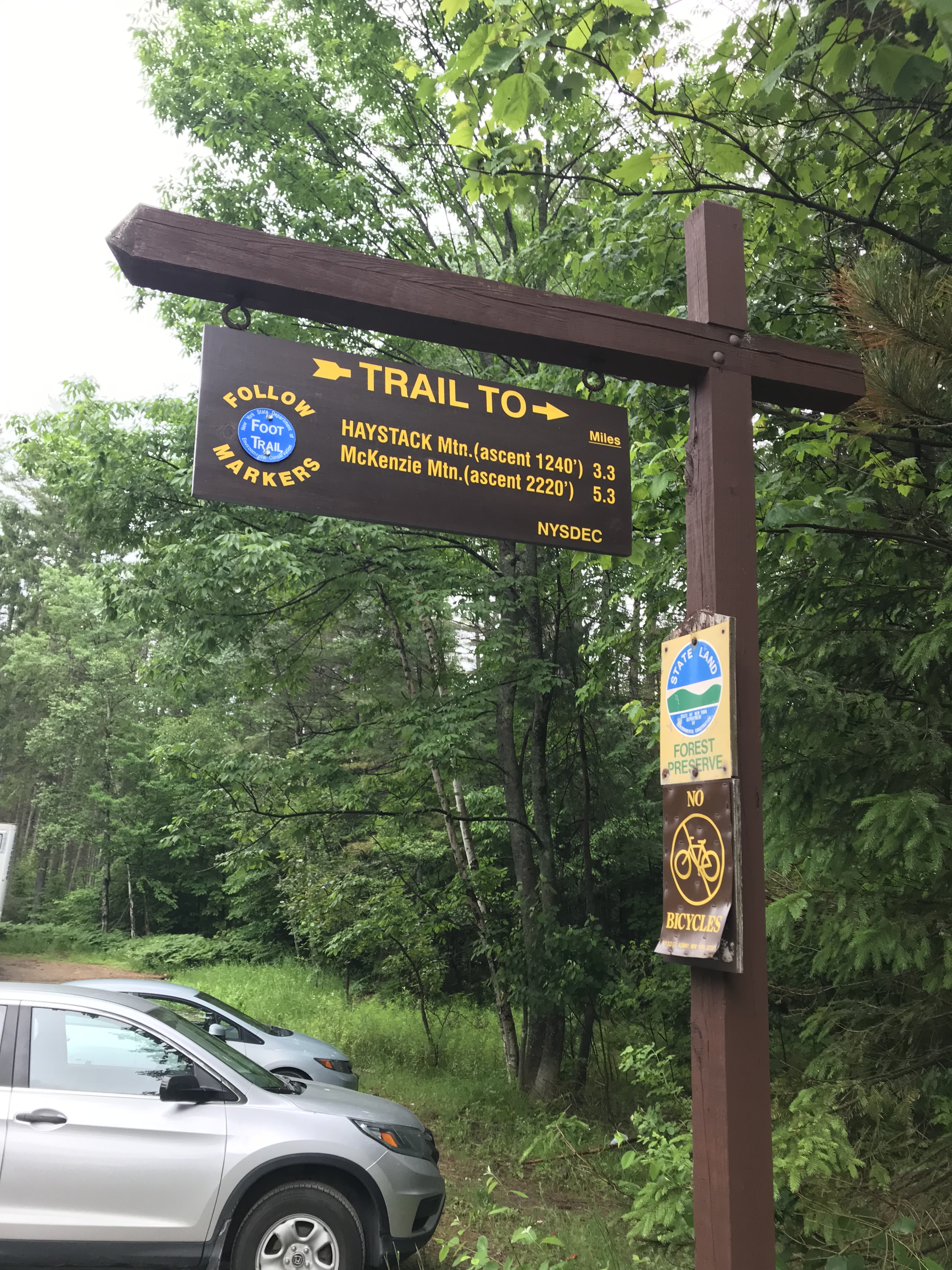
The trailhead is right off Route 86 near Lake Placid. There is a large parking lot with a trailhead sign that is hard to miss. Here is a picture of the sign below.
Beginning of Trail
The beginning of the trail is relatively flat for the first couple of miles. There are some minor ups and downs, but nothing worth noting. One thing to mention is the bugs on this trail can be horrendous. If you attempt either Haystack or McKenzie on a humid, muggy day, bring lots of bug spray. The mosquitoes are no joke.
Haystack/McKenzie Junction
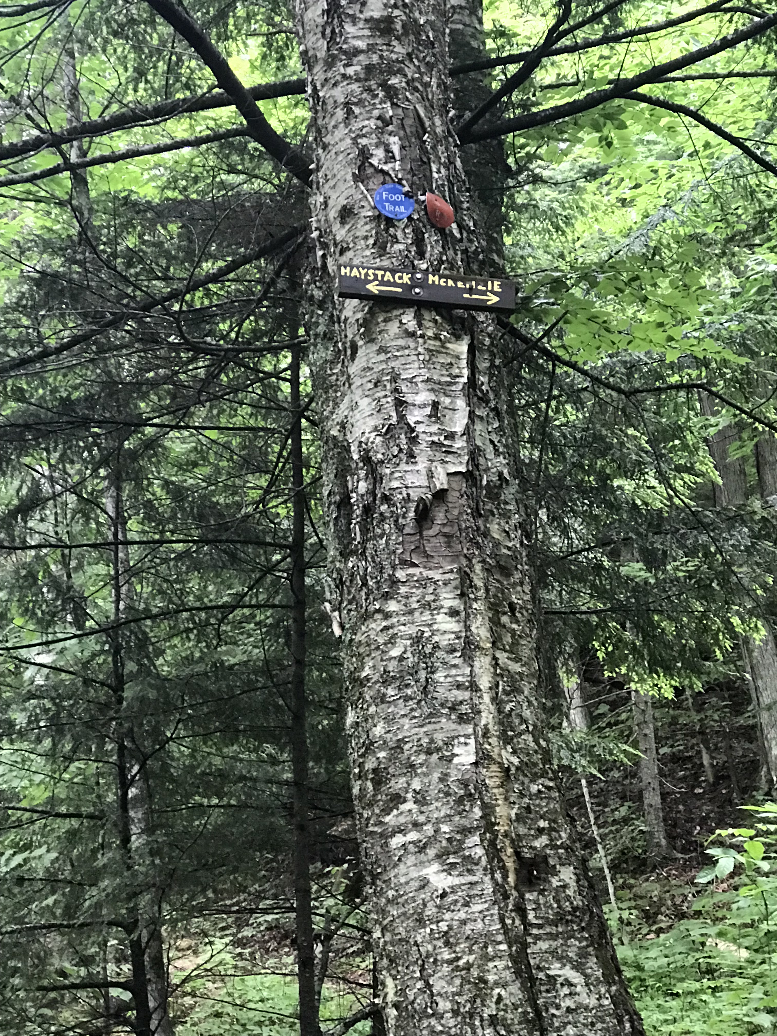
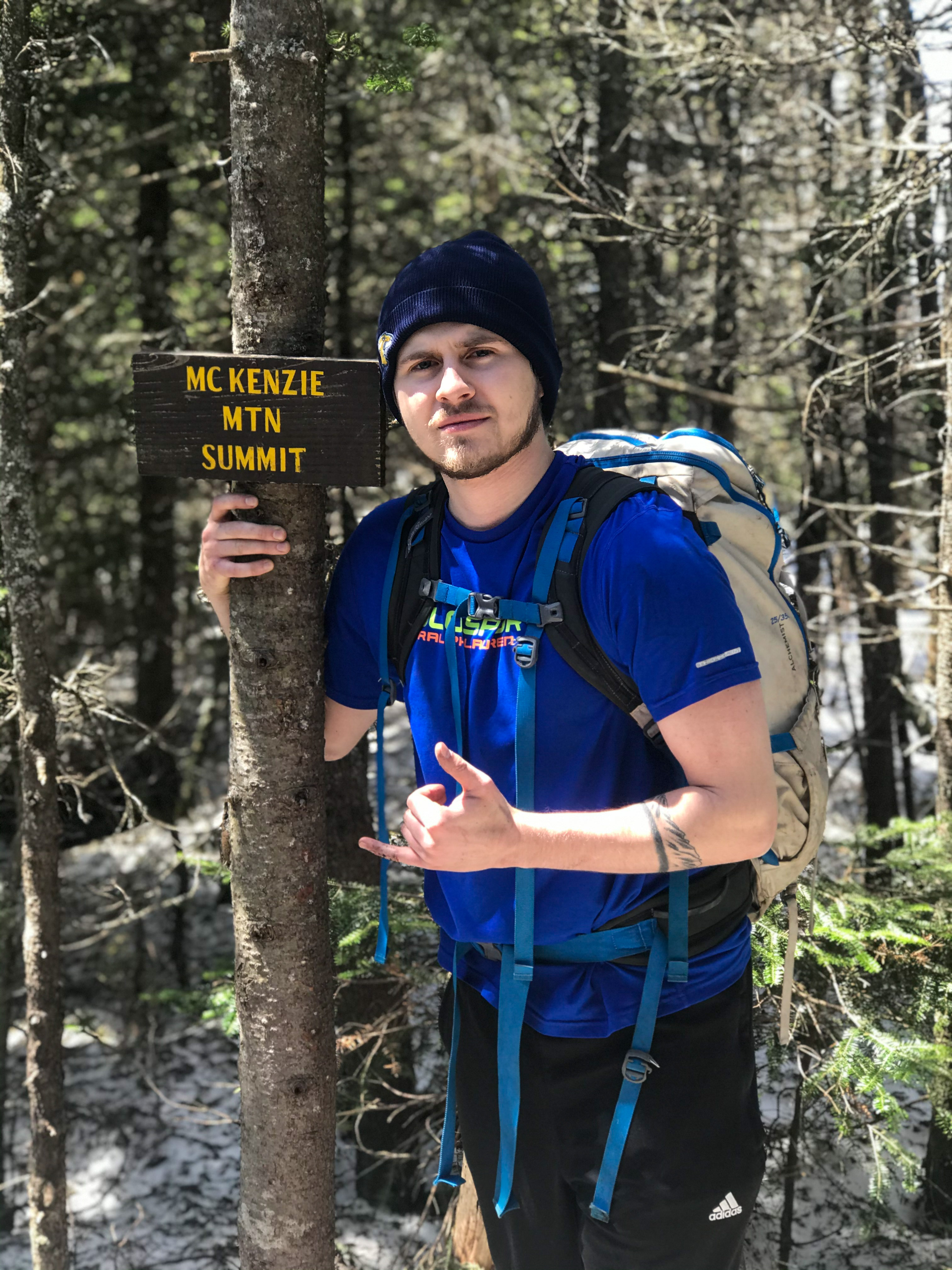
After about 2.4 miles of hiking, you will reach the junction where you can decide to hike Haystack Mountain or McKenzie. You could also do both in the same day if you have enough time for it. For the sake of this blog, you will continue right following the direction of the beat up wooden sign seen below. You will be following red trail markers and your hike will now be at a steeper grade.
Four-Way Junction
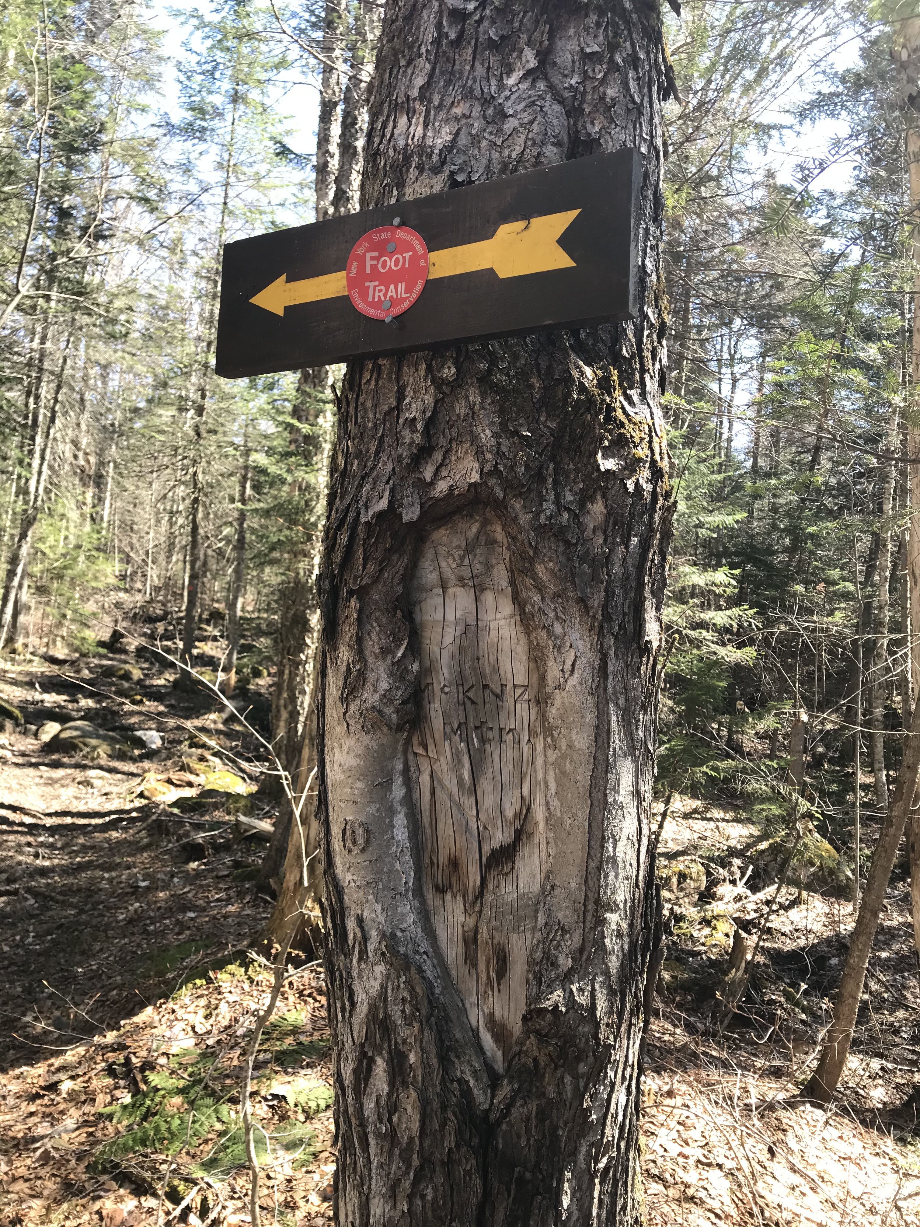
At roughly 3.6 miles of hiking you will reach a four-way intersection. It is a good spot to rest if needed (rehydrate and eat some food). You’ll continue straight, continuing to follow the red trail markers. If you look at the tree with the arrow sign on it, “McKenzie Mtn” is carved into the wood. See below! You will gradually climb along the trail until things level off and then the real climbing begins.
Steep Climbing
The trail quickly becomes very steep and you will gain a significant amount of elevation over a short span of the trail. We did this while it was icy and without micro-spikes (smart, I know). If you plan on doing this in the winter or the shoulder season following winter, I highly recommend that you have spikes on you. I use the Kahtoola brand and they have held up well.
Eventually there will be a side path after the majority of the steep climbing is done and you’ll be able to take in the scenery of the Adirondack High Peaks as well as the less significant mountains in the area.
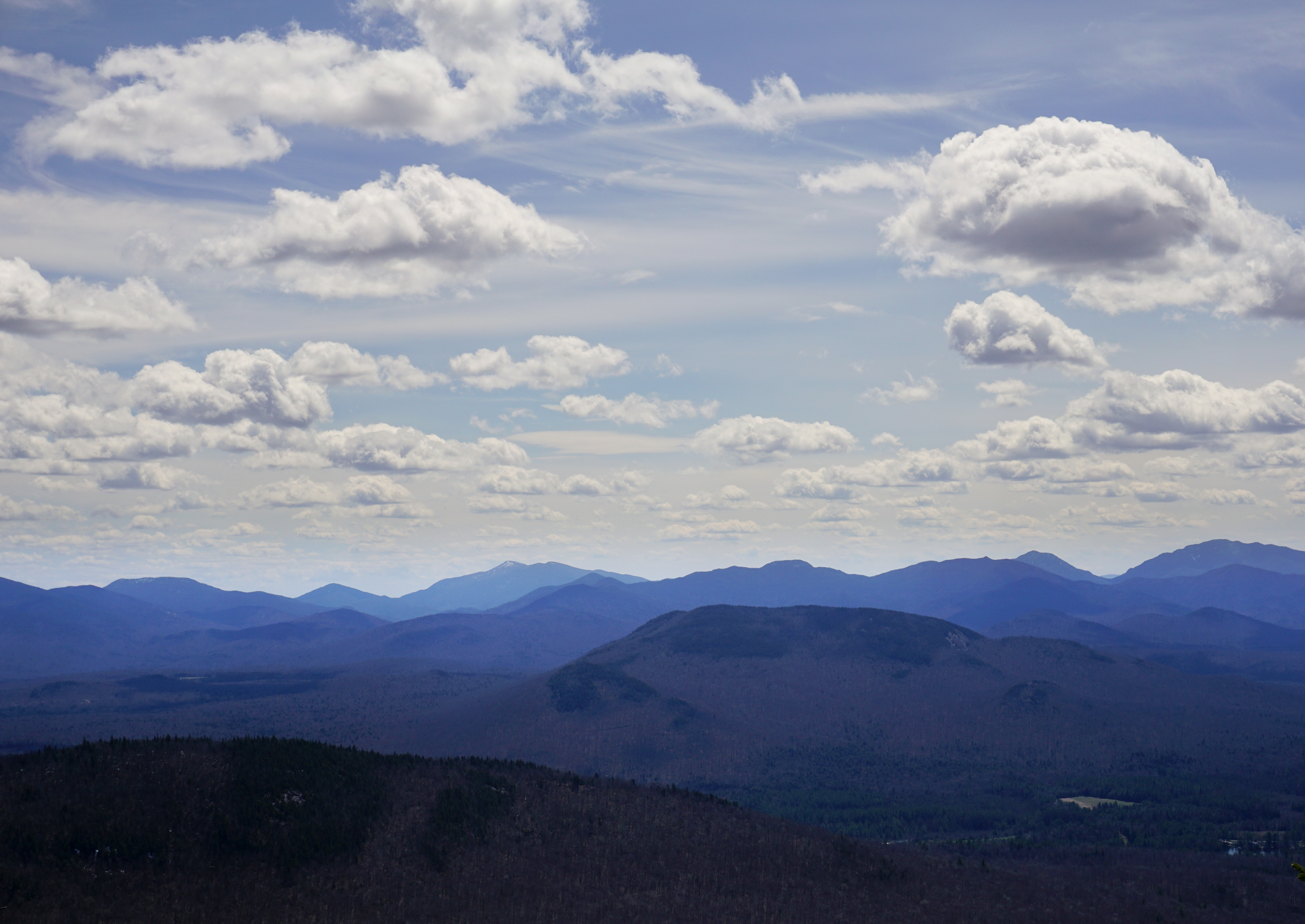
After this view, you will be ascending and descending some false summits. Eventually you will see a mountain in the near distance and will think, “that cannot be it.” You will know it when you see it and it appears much worse than it is. In reality, it is only another twenty to thirty minutes of hiking so keep pushing!
McKenzie Mountain Summit
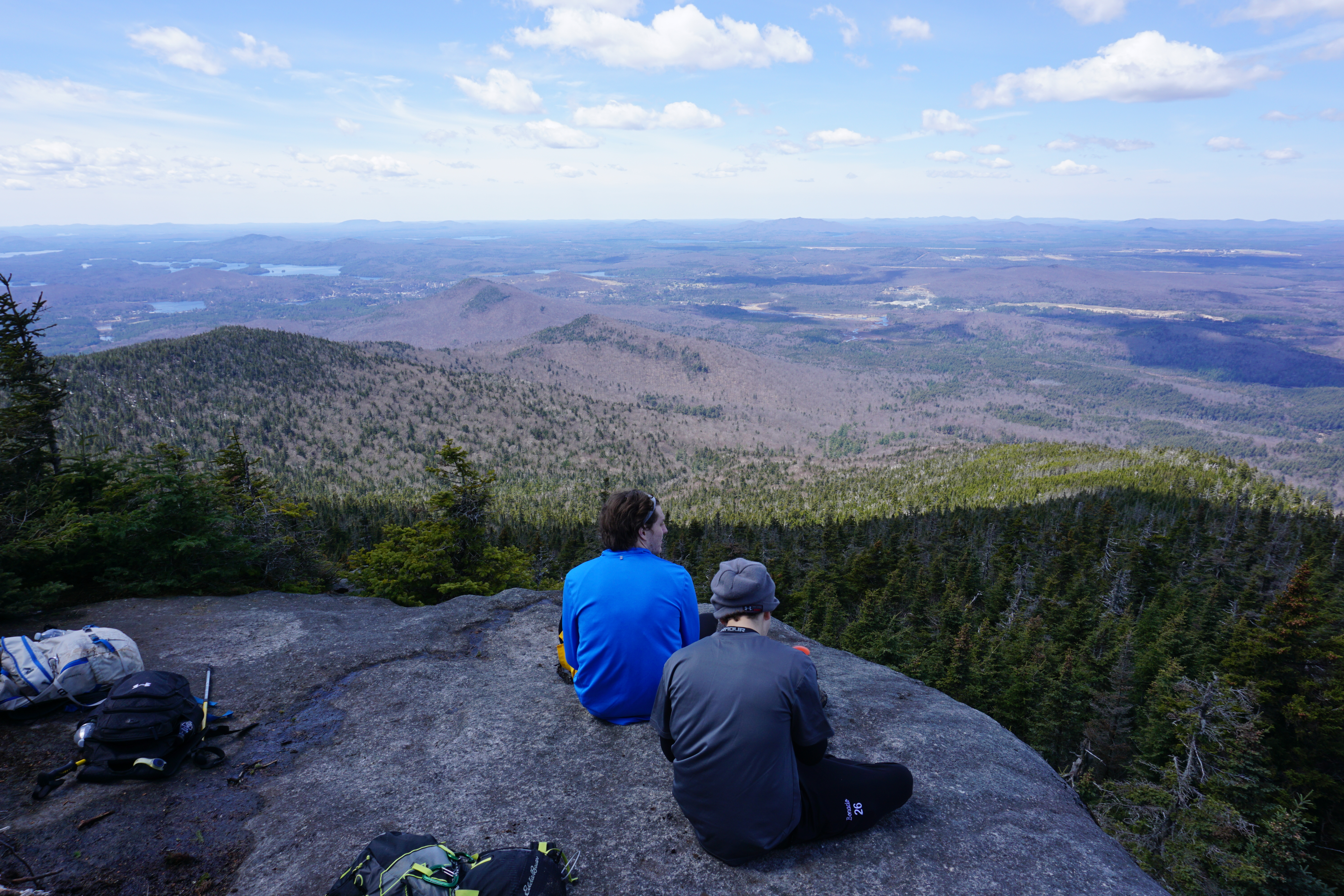
The summit has a wooden sign so it is easy to see when you made it. The summit is wooded, but if you explore around you will be rewarded with picturesque views. We found a nearby open cliff and crashed there for a bit. There might be other spots that we did not find. Just be safe when you are roaming!
See below for the squad hanging out at the cliff we found near the summit.
Getting Back to the Trailhead
We hiked McKenzie Mountain as an out-and-back so we came back the way we hiked in. Just be careful descending in some of the steep spots.
Dog-Friendly
This hike is dog-friendly, but we didn’t see any on the trail. Due to how steep this hike gets, I would be sure that your dog is trained for tough terrain.
Fam-Friendly
I wouldn’t rate this hike as family friendly. It is doable, the distance isn’t that bad. The reason I would say it is not family friendly is that it gets very steep and the terrain is tough. Depending on the time of year, you’ll encounter slippery ice, loose mud, and wet rocks. I am speaking from my experience of the trail at the tail-end of winter conditions. It is probably better to hike this mountain in the summer.
Clothes/Gear Worn
- Timberland Hiking Boots
- Nike Compression shorts
- Athletic shorts
- Adidas Joggers
- Athletic T-shirt
- Winter Beanie
- EMS Hiking socks (warmest pair they make)
Gear/Food Brought
- 2.5L of water
- Peanut butter granola bars, and peanut butter sandwiches, little bit of pasta
- Extra EMS hiking socks
- LL Bean mid-layer
- Extra Wind-breaker jacket
- Balaclava
- Bandana
- Extra shirts, compression shorts, and underarmour
- Wind/Rain Pants
- Emergency tents and blankets
- Knife
- Paracord and two carabiners
- Water-proof matches
- LifeStraw (water filtration, costs about $20)
- Trekking poles
- First-Aid Kit
- Garmin inReach (satellite device that has a GPS, can send texts, send SOS, and has many other helpful features)
RTW Note
Thank you for taking the time to check out this hike my Road Trip Warriors! If you enjoyed this post, DESTROY the like button, hit the follow/subscribe button, and leave a comment on this post! More exciting hikes will be posted in the near future and I look forward to sharing them with you all!
Remember to practice Leave No Trace principles!
-Ant
