Hiking Noonmark Mountain
What up Road Trip Warriors!? I hope everyone had an amazing summer filled with great adventures, tasty food, and good people! This past Wednesday (8/29/18), my brother, Alex, and I hiked up Noonmark Mountain. Noonmark Mountain is located in Keene Valley and the parking lot for the trail is where I have been parking for many other hikes. It is the Ausable Road parking lot located right off of Route 73. I had not planned to hike this mountain, but my brother was persistent in his ways (as all younger siblings are), and I caved. I am glad I was such a pushover because this mountain has so much to offer. It is a great workout, it is steep, and you’ll have to climb up rockslides and scrambles. Noonmark really is the full package at only 7.2ish miles round trip.
Beginning the Trek up noonmark mountain
You’ll hop out of the car and make your way up the dirt road for less than half of a mile. There will be a sign that says “Noonmark” on it and you will take a left and notice the post where the sign-in sheet is for the hike. After signing in, you will continue up the road for some ways and past some private properties. Ensure that you are not being too loud as you pass by.
Initially, you will be hiking up a moderate trail that is mainly dirt with rocks. Although there may not be many obstacles, do not forget to take breaks if they are needed. My brother and I took many breaks in the beginning of our hike due to the high humidity. Hydration is essential and one’s health and well-being should always be the top priority when hiking. If you are with a hiking partner or in a group do not be afraid to ask the occasional “does anybody need a water break?” because chances are that they do.
Further Along the Trail
Soon enough you will hit a sign where the trail diverges. To your left is a trail that leads to Round Mountain (1.7 miles from this point). To your right will be the trail to Noonmark Mountain (1.5 miles away). We continued to the right towards the summit of Noonmark Mountain. I am sure that I will be on Round Mountain at some point before the end of 2018 and I will be sure to write about it.
The trail does get steeper, but it levels out here and there. In the woods, you will be able to walk along this large stone wall which I thought was worth the photo.
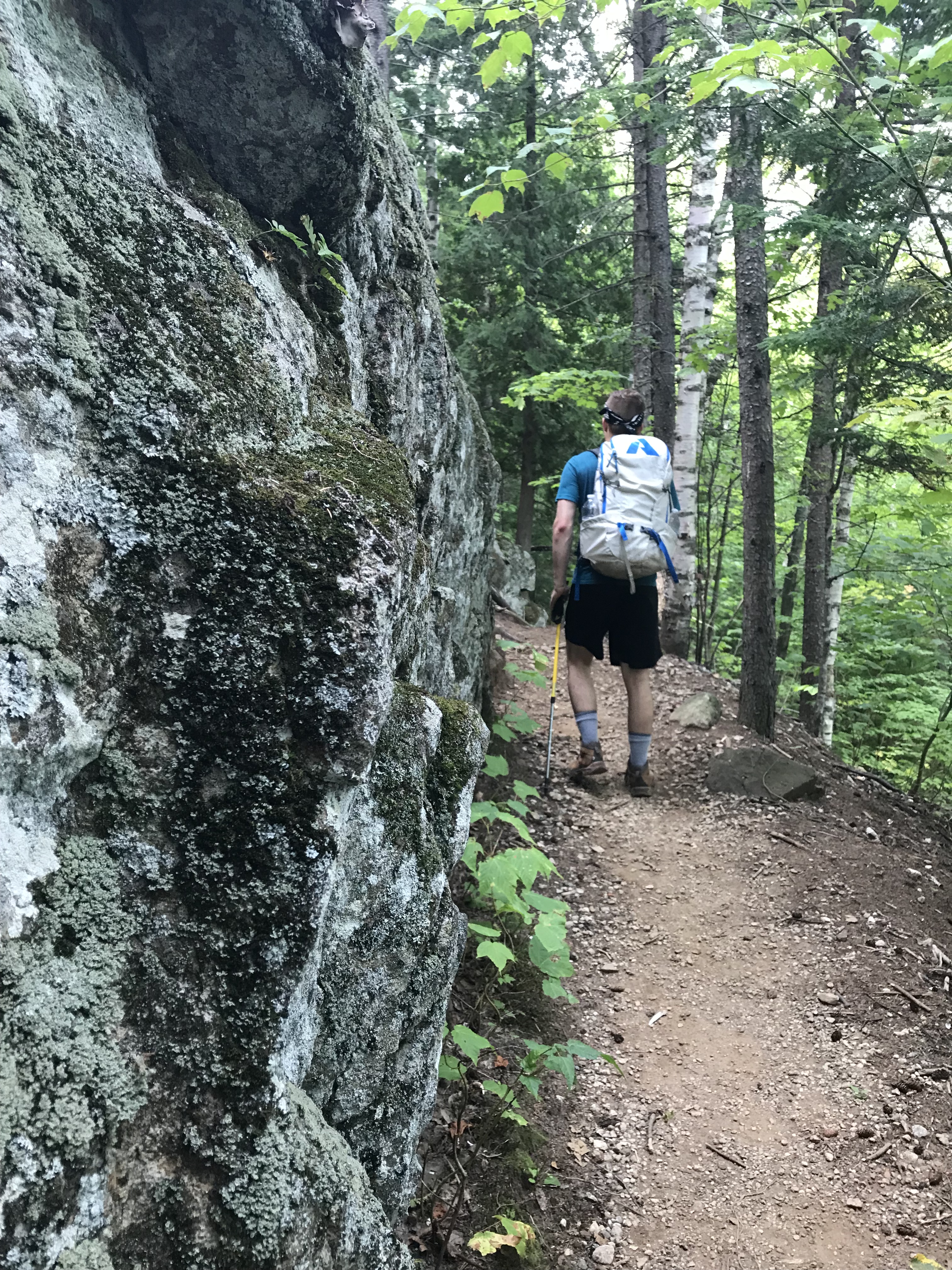
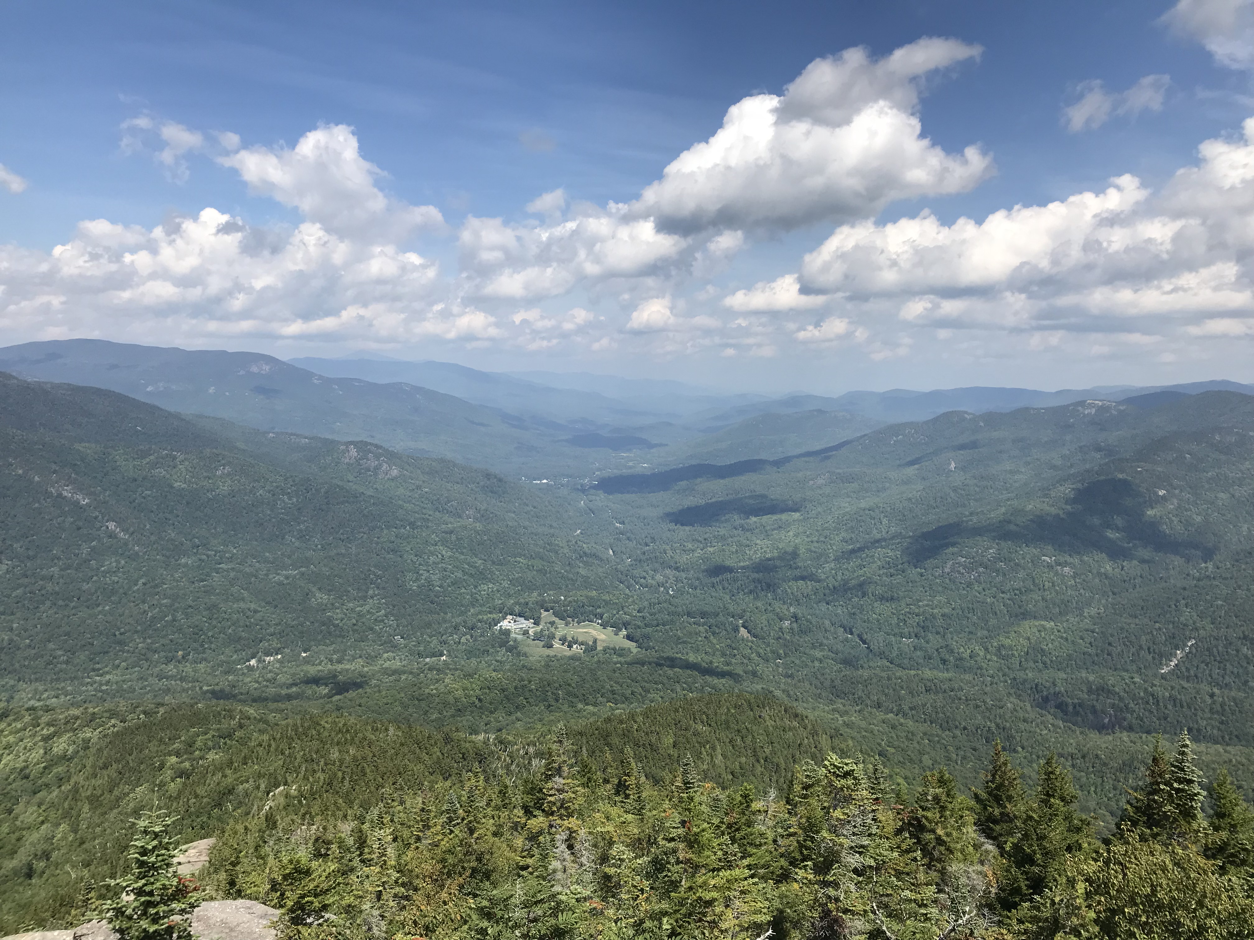
Not long after walking past the stone wall, you will reach your first break of tree line where you will be able to see the Ausable Club far below you. Giant Mountain is also quite prominent towering over the valley below.
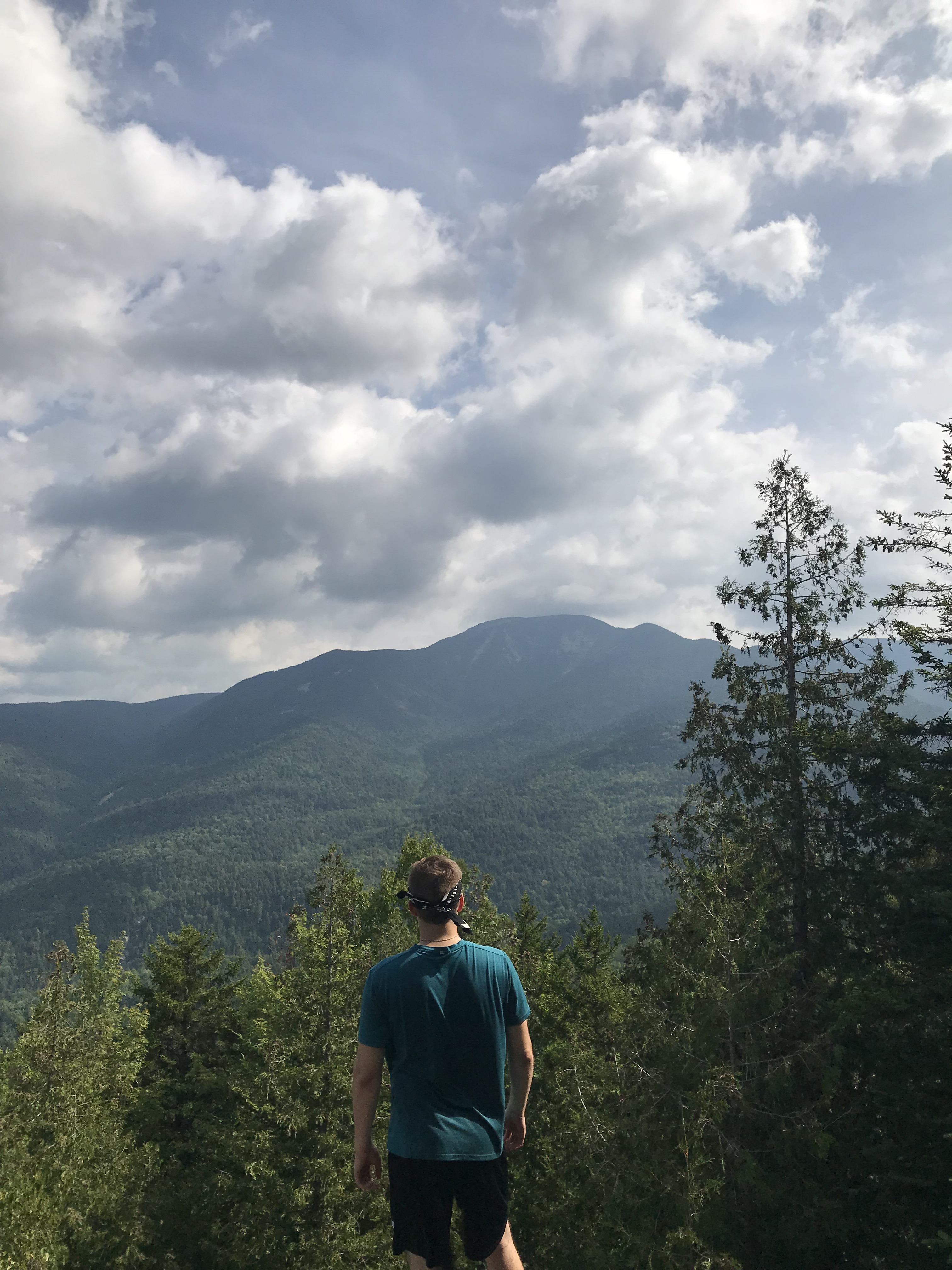
This is a great spot to stop and chill out on the rockslide to eat some snacks and rehydrate before moving further on along the trail. The trail will start to have more rockslides and boulders after this point. Be careful if the rockslides are wet as they can be very slippery.
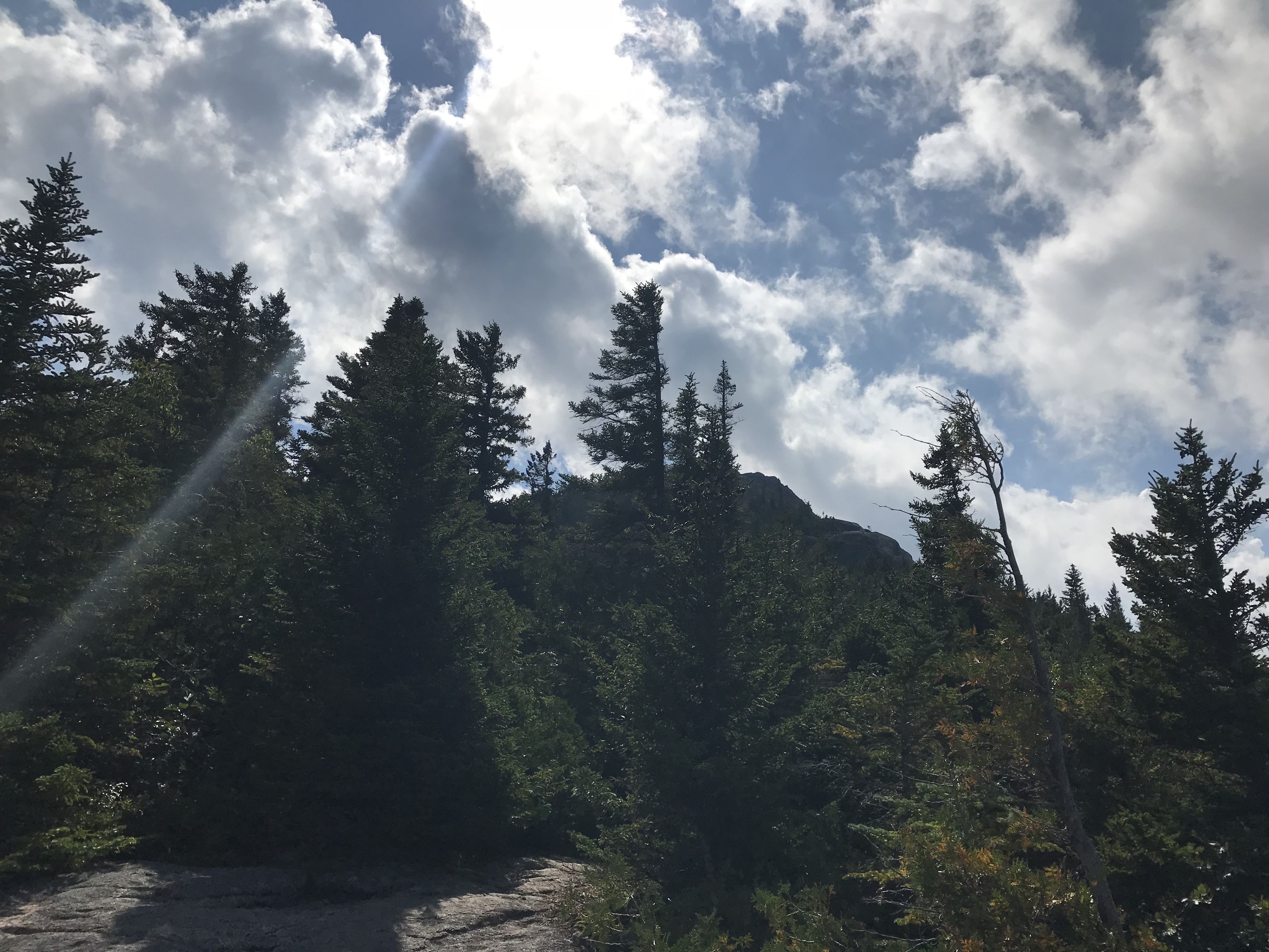
The Noonmark Mountain trail is great because it offers multiple rewards as you keep ascending. There are several spots where you will be able to step out onto some bald rock to admire the views this mountain trail has to offer. We stepped out onto some of these bald rock faces and were able to look up and see the summit was within our grasp.
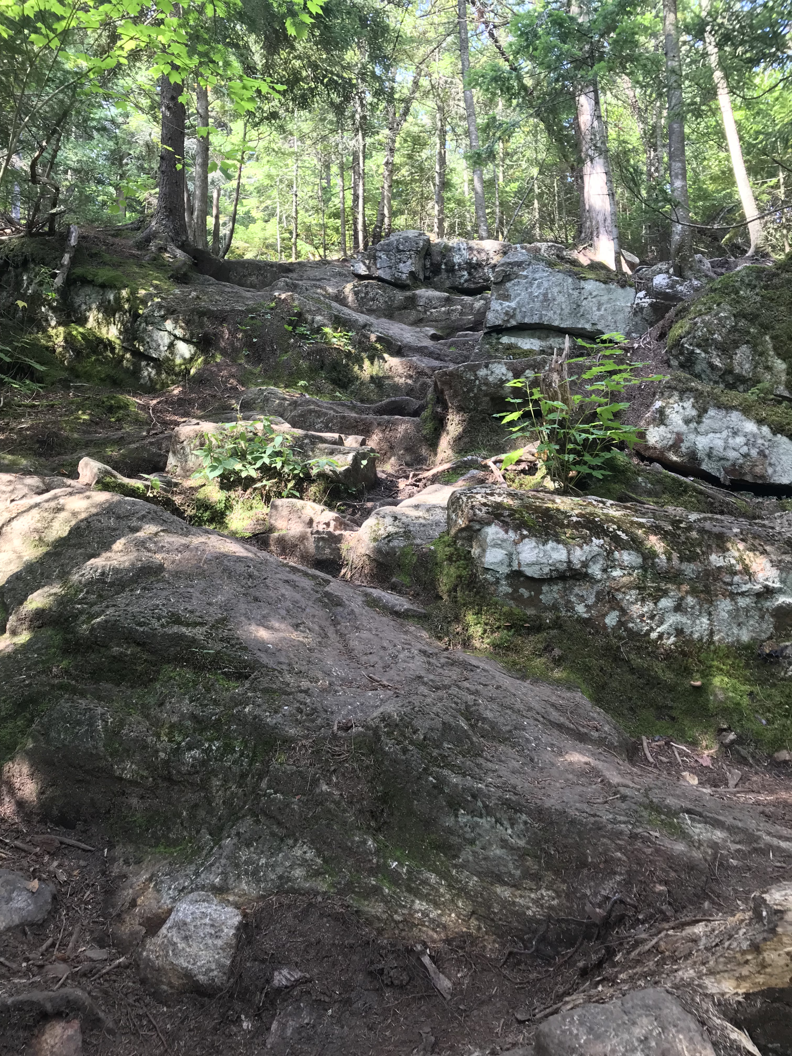
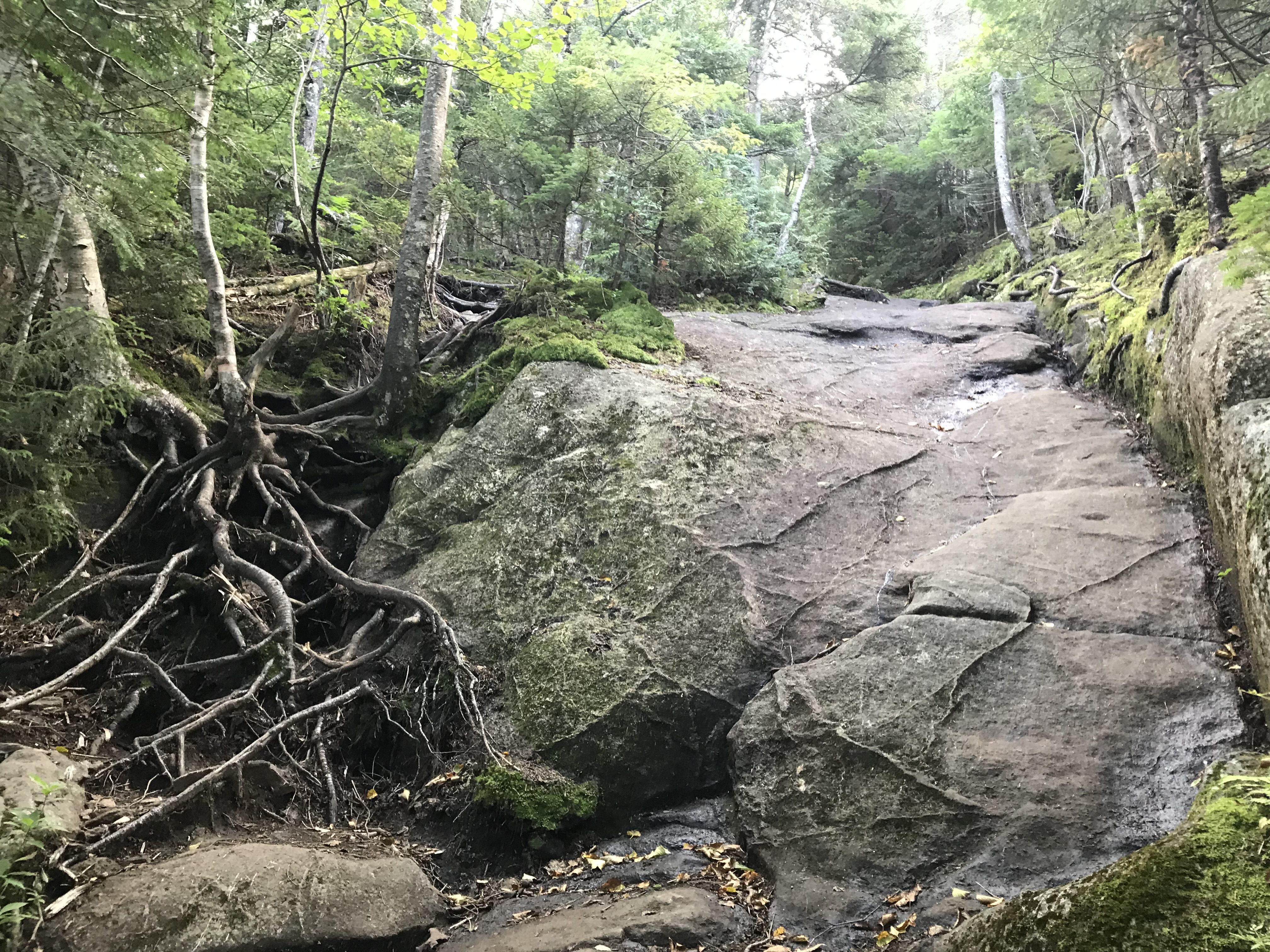
The trail becomes steeper with more rockslides and there are a few spots where extra precaution should be taken. This one spot in particular is one where you should take your time and watch your feet. You will have the option on the left of climbing over the tree roots. Then, on your right, you will have the option to climb up the rockslide. We decided to take the latter and go up the rockslide as it was relatively dry. Although these are fun to climb up, take care with each step. You are close to the summit at this point and there is no need to risk injury so take your time.
The Summit of Noonmark Mountain!
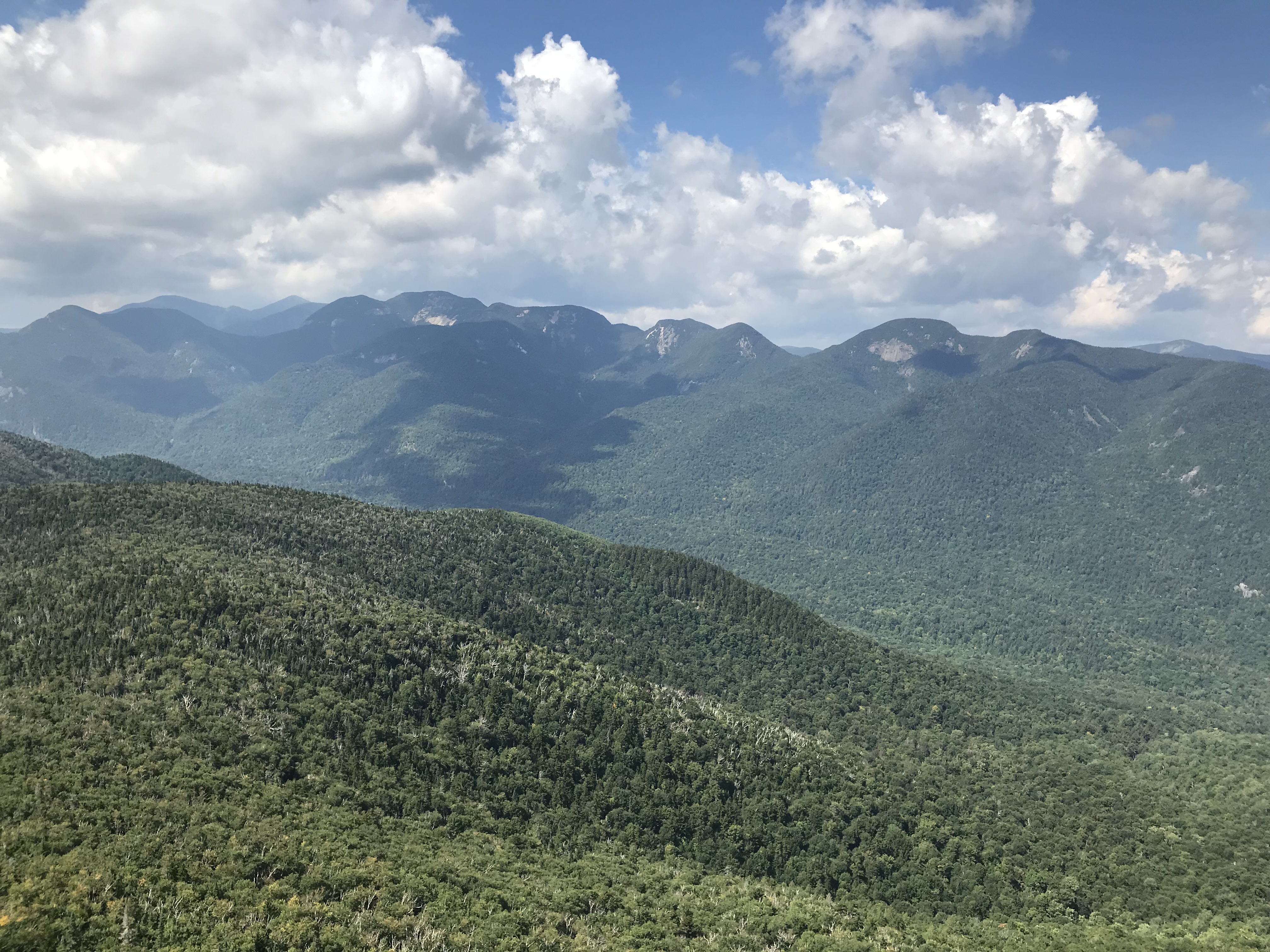
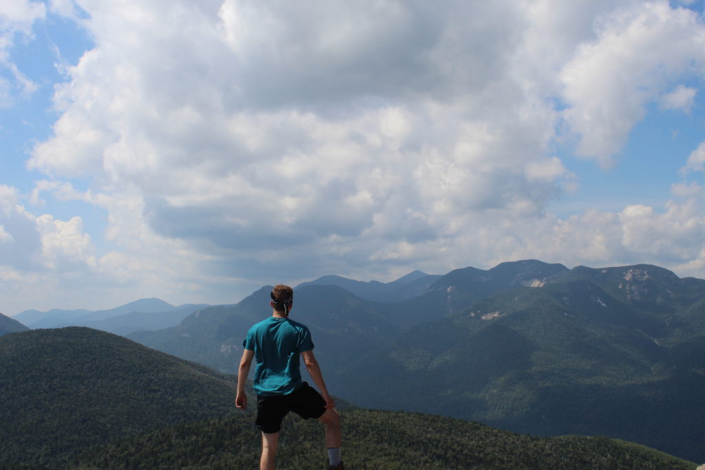
The summit of Noonmark Mountain is nothing short of amazing because it has so much to offer. The rewards of this mountain include (but are not limited to) 360º views where you can see the Great Range, Giant Mountain, Keene Valley, and the Ausable Club far below. It stands at 3,556′ and can be completed in a few hours depending on how long you spend taking breaks and pictures. The summit of Noonmark Mountain is mainly bald rock with plenty of space to walk around. It also has plant life and numerous dragonflies and grasshoppers buzzing around at this time of year. My brother and I captured multitudes of photos while spending a half hour up on the summit.
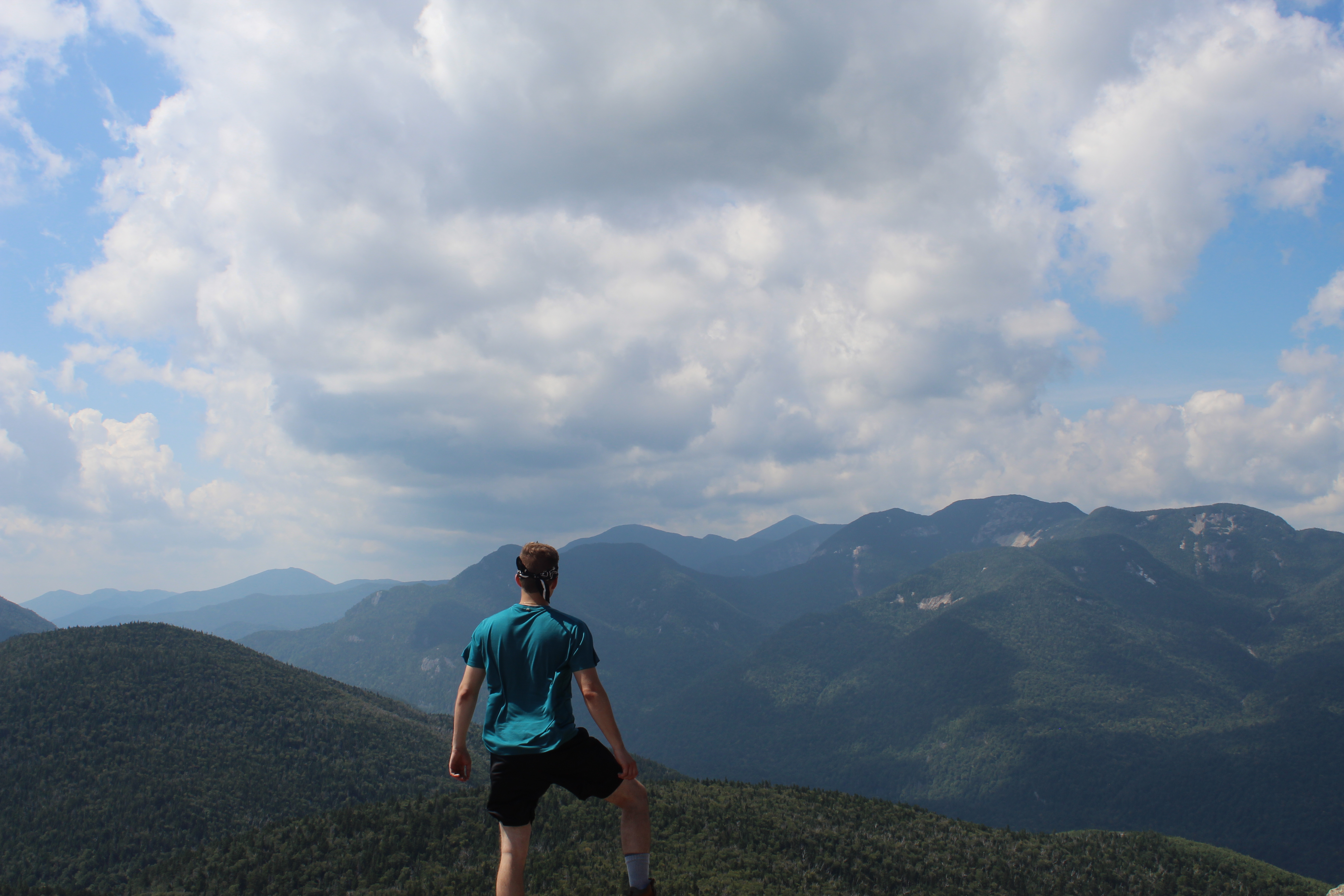
If it is windy on the summit like it was when I went, there are plenty of spots that provide great wind cover. Noonmark Mountain is not a High Peak in the Adirondacks, but it had just as much to offer, if not more.
Descent
The Noonmark Mountain trail is an out and back trail so you will just go down the same way you climbed up. Again, be careful on the rockslides and steep sections. One false move and you could injure yourself. It is always better to take your time when descending. There is not much info on the descent I need to provide with the fact that it is an out and back trail. My only recommendation is hitting up Noonmark Diner after getting back to your vehicle. It is only a five minute drive from the lot and the food is great after any hike!
Gear
- 2L of water
- A bunch of food (trail mix, peanut butter sandwich, etc.)
- Canon camera
- First-aid kit
- Matches
- Knife
- Extra clothes
- LifeStraw water filter
- Bug spray
- Map
- Extra garbage bag for any litter that I come across
I always bring more than I probably need to for these hikes, but I would rather be over-prepared than not have something I might need to use.
Similar Hikes
RTW Note
I highly recommend this trail to both amateur and experienced hikers. It is a fun trail that was short, but still had its own unique challenges. I hope this was helpful to anyone that is interested in hiking, the outdoors and backpacking. I also hope you enjoyed the photos although they do not do the beauty of the Adirondack Mountains any justice. Stay safe and keep on adventuring!
-Ant

Looks gorgeous! Although as a non-American I had to Google where Noonmark Mountain was 🙂
It offered some amazing views! Google always has an answer 😁 right in northern New York in the Adirondacks 🙂