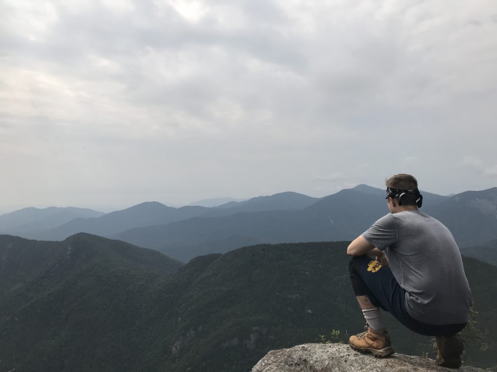
Dial and Nippletop: Two More High Peaks Down!!
What is going on my Road Trip Warriors!? This past Monday we took on Dial and Nippletop Mountains in the Adirondack wilderness. We battled giant black flies and extreme humidity for a majority of the hike, but need I say that we emerged victorious? Our total distance for the day ranged somewhere between 14 and 16 miles, and the tired legs were completely worth it. We had an amazing time spending nine hours making our way through the serene forests and then topping it off with a delicious meal at Noonmark Diner. The hike is long and tiresome on the legs, but very rewarding.
Back at The Ausable Road Parking Lot
I parked in the lot a little later than I would have liked to for this hike at roughly 8:45 AM (8/27/18). The usual routine occurred of putting on the hiking boots, double-checking our gear, and making sure we had more than enough water to hike Dial and Nippletop Mountains. Double-checking your bags before going on a long hike is something everyone should do. We walked up the familiar road towards the Ausable Club where we turned left in-between the two tennis courts. Shortly, we hit the post where we signed in and made our way down the road past the wooden AMR sign. The trail appears at about a mile down the dirt road and it is on the left-hand side. The sign states that it is Leach Trail and it leads to Dial/Nippletop. This would be the trail we would take.
Leach Trail over Bear Den -> On route to dial and nippletop
Leach Trail is a long and rather strenuous trail through the Adirondack Mountain Reserve area that will take you over Bear Den, to Dial Mountain, and then to Nippletop Mountain. It is not an easy trek, but if you enjoy being deep in the woods, I highly suggest it. The trail begins at a moderate incline without many obstacles. You’ll be walking on dirt and pine needles for quite some time. Eventually, the trail will start to change and tree roots begin to snake across it. This is one of my favorite parts about hiking because I find it crazy how large and far these roots will stretch across the wooded area.
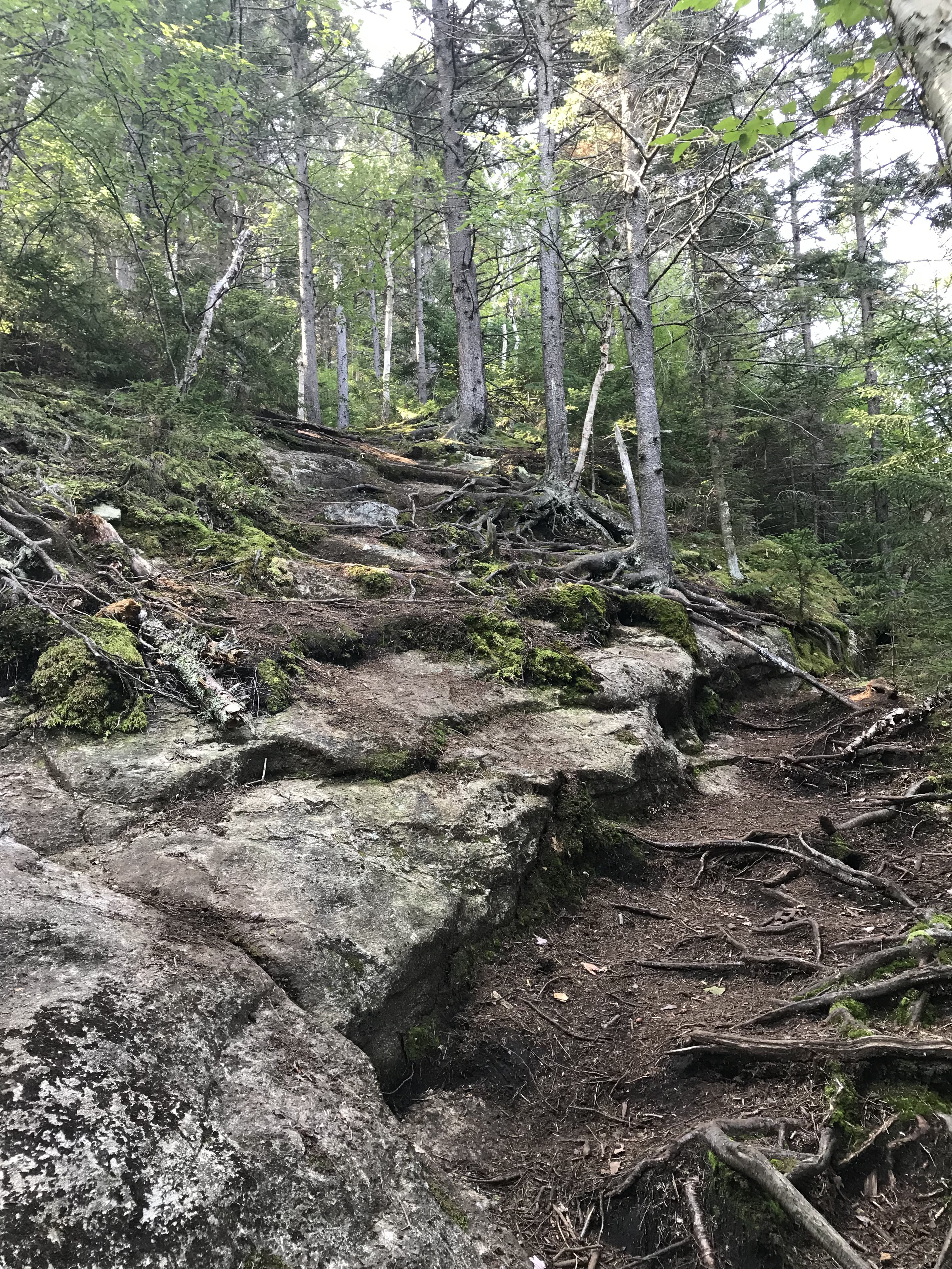
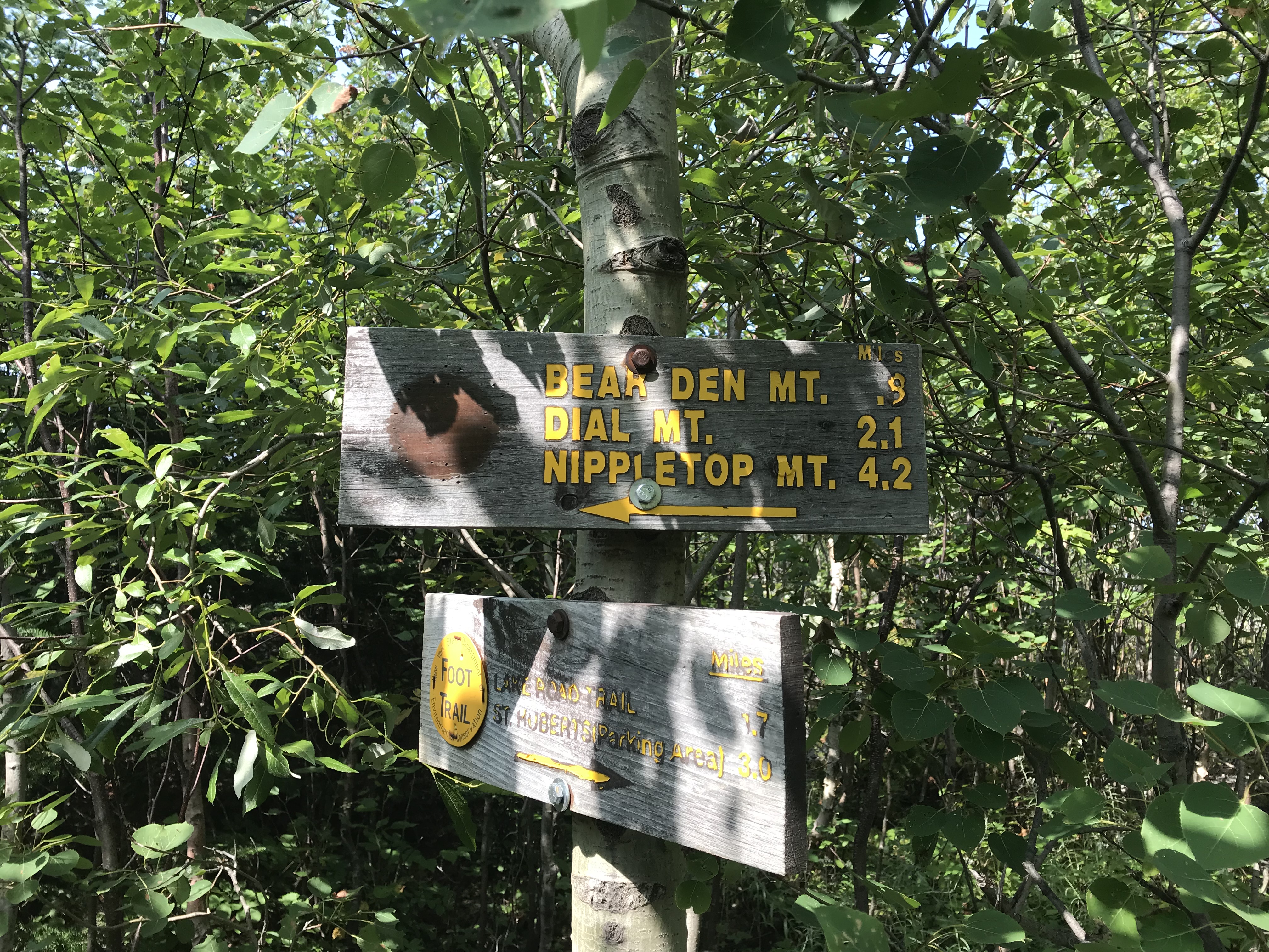
Moving forward, the path becomes much narrower with tall green grass and thin trees on each side of you. You’ll become more and more immersed in the Adirondack wilderness before coming across a sign that will let you know where you’re at.
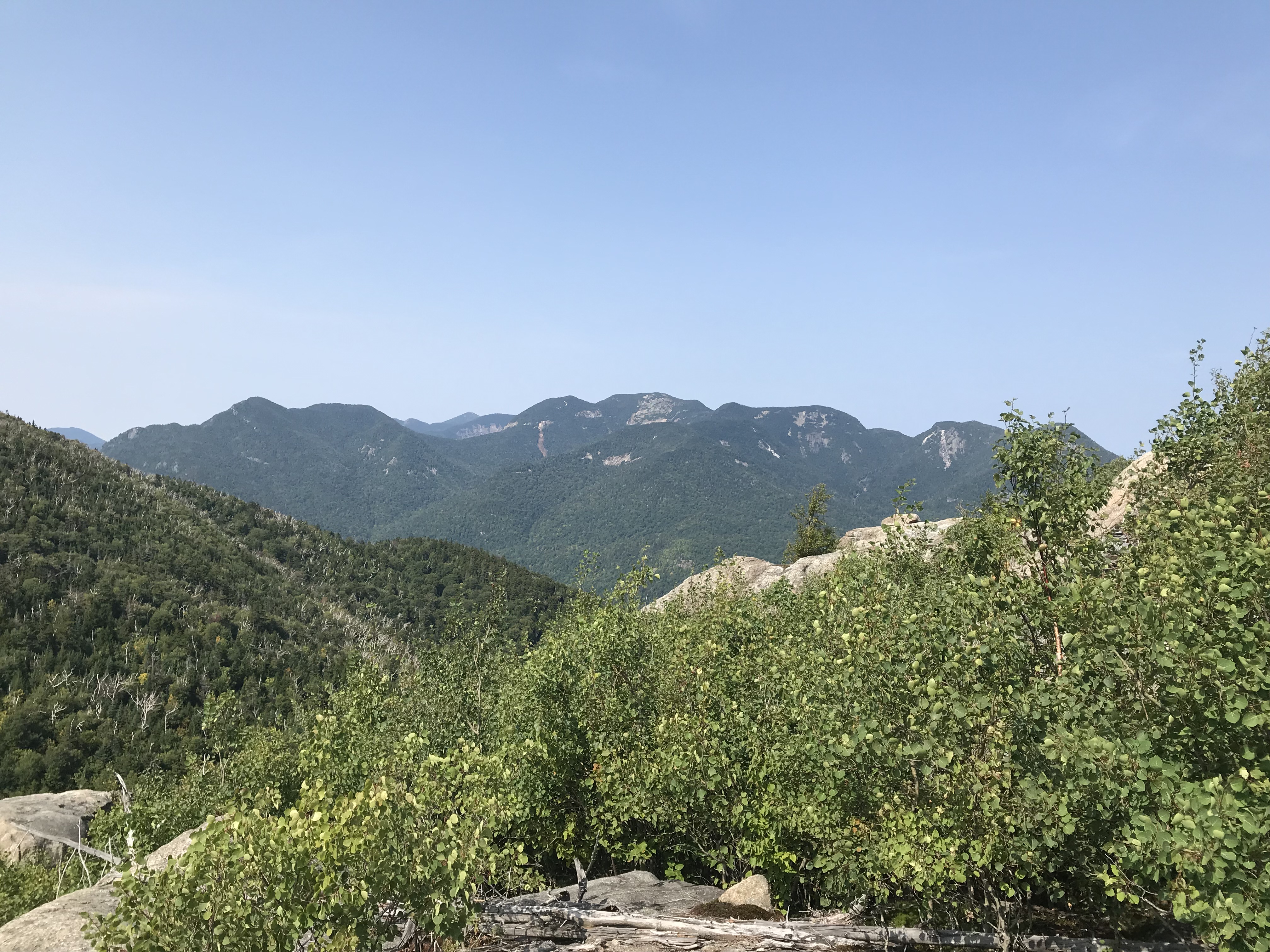
Shortly after this sign, you will hit your first outbreak on some bald rock where you will be able to see the Great Range in the distance.
After stopping here, you’ll see in front of you Bear Den Mountain. Unfortunately, there is not much to see while making the trek up Bear Den as it is mostly wooded. I read that there was an outcrop past the peak one can climb for some views, but we did not take the time to do this. When you hit this sign, you have hit the summit of Bear Den.
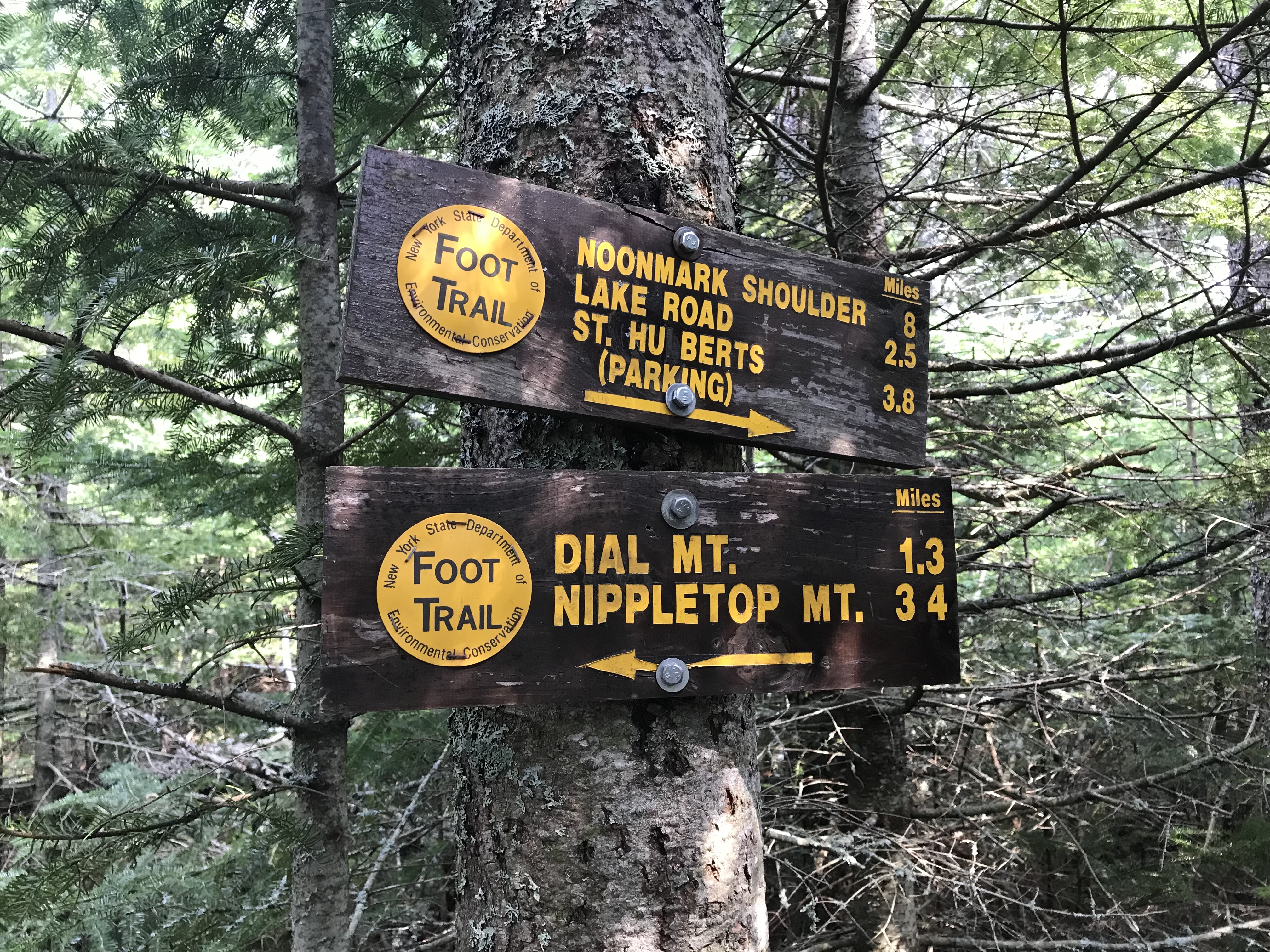
I suggest taking a breather here because you still have a long way to go before hitting the two High Peaks on this trail. I do not want to delve into too much detail for the distance between Bear Den and Dial Mountain as I do not remember anything being particularly difficult. It is essentially just more of a dirt path at a moderate incline with rocks and roots scattered among the trail. Although this sign above states that Dial is only 1.3 miles away, when hiking, that is not a short distance…especially during the summer heat. You should always make sure to stay hydrated and do not over-exert yourself.
Dial Mountain
Eventually you will hit another sign and a large boulder looking out into the Great Range. This is where you’ll find the summit of Dial Mountain. We hit the summit of this High Peak around 12:30 PM. The sign looks like this…
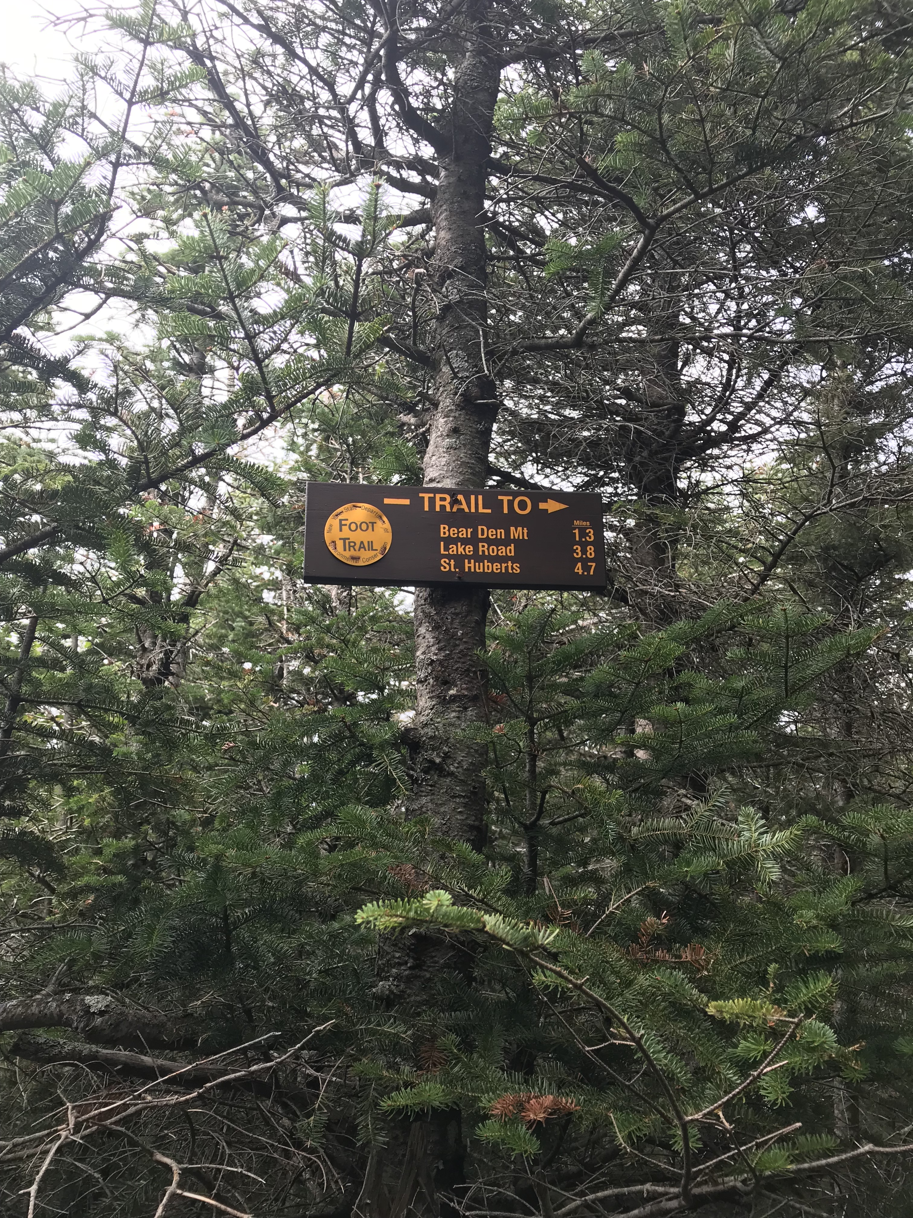
Once you are here, take a moment to chill out on the boulder and admire the beauty of the Adirondacks. It was humid and a bit hazy for the day we were on this hike, but the sights were still beautiful.
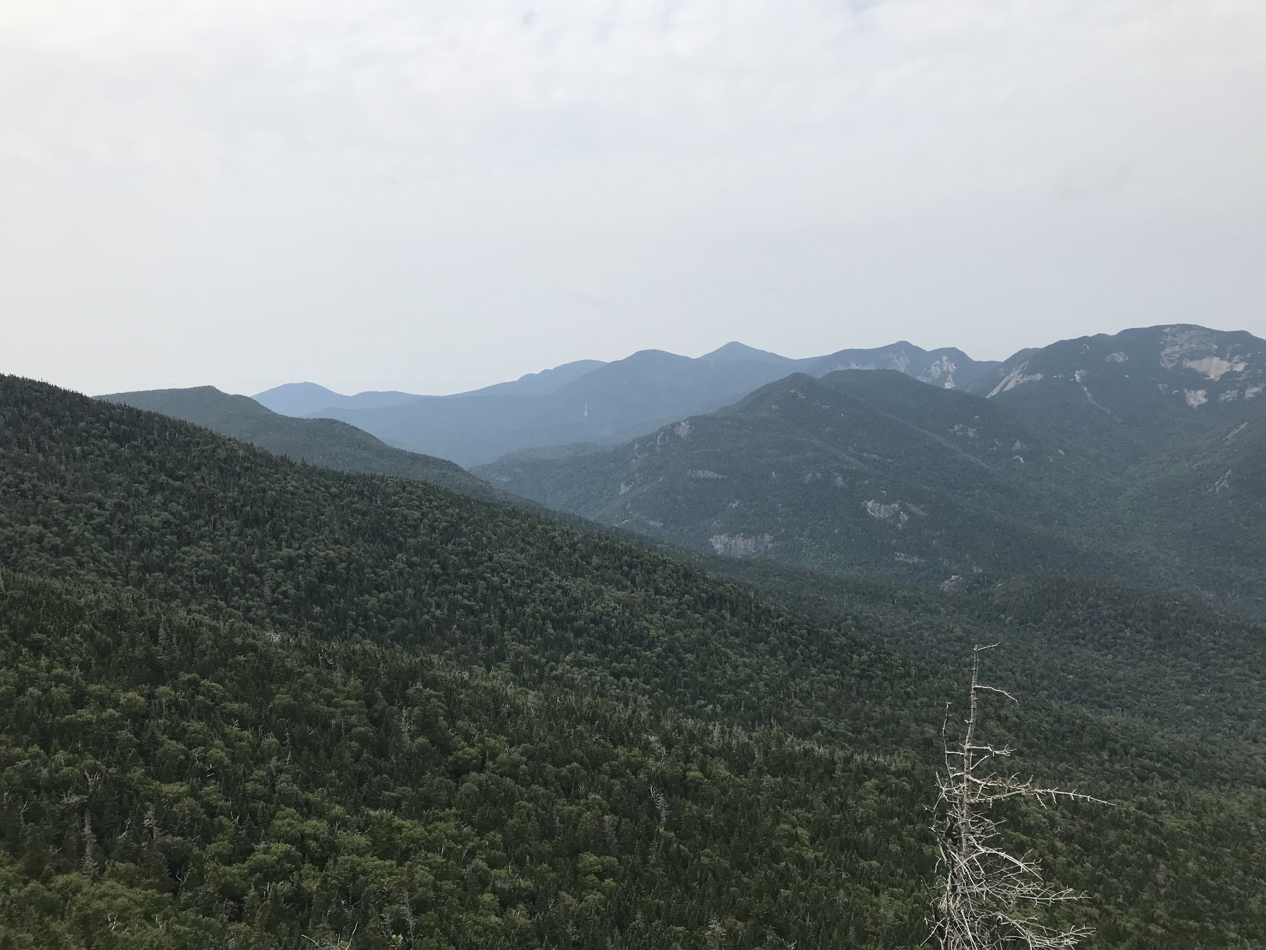
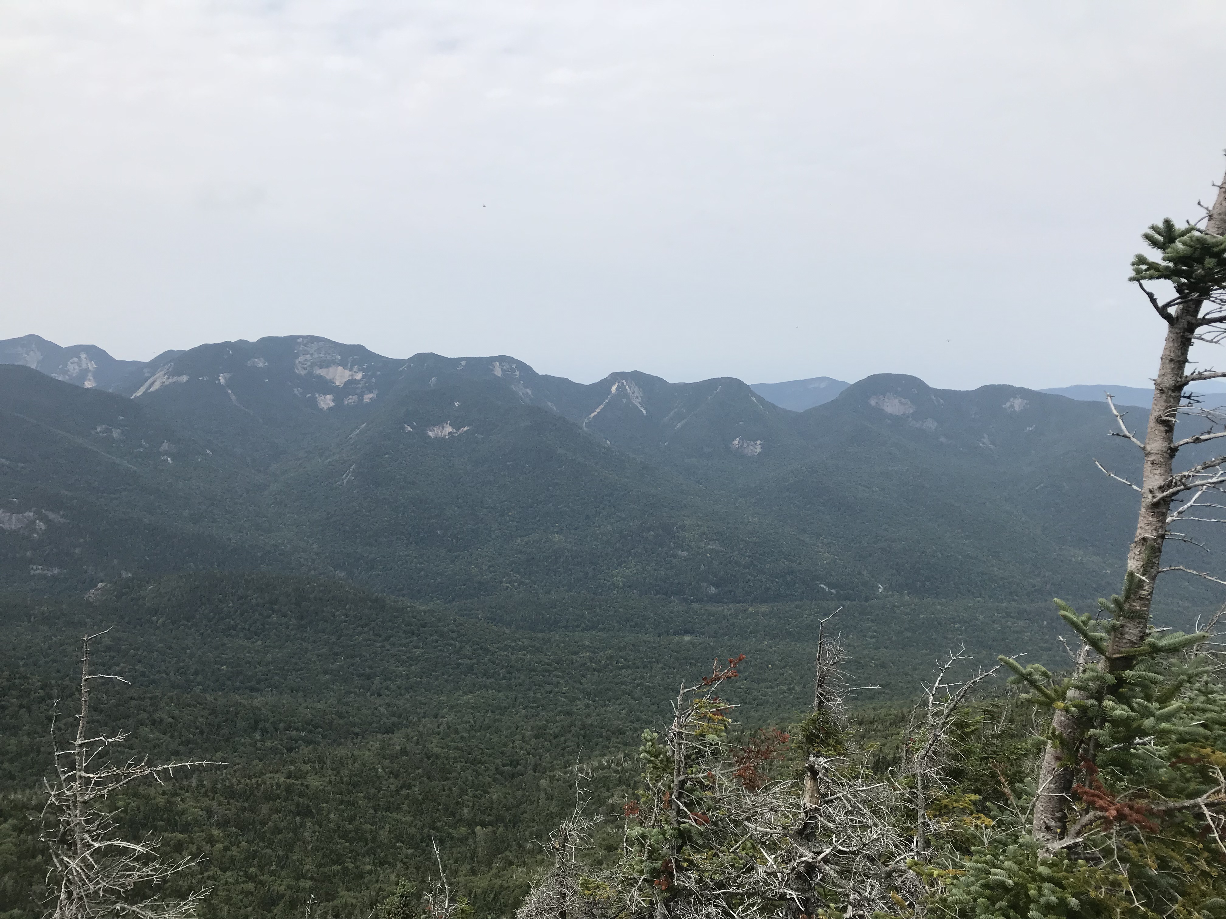
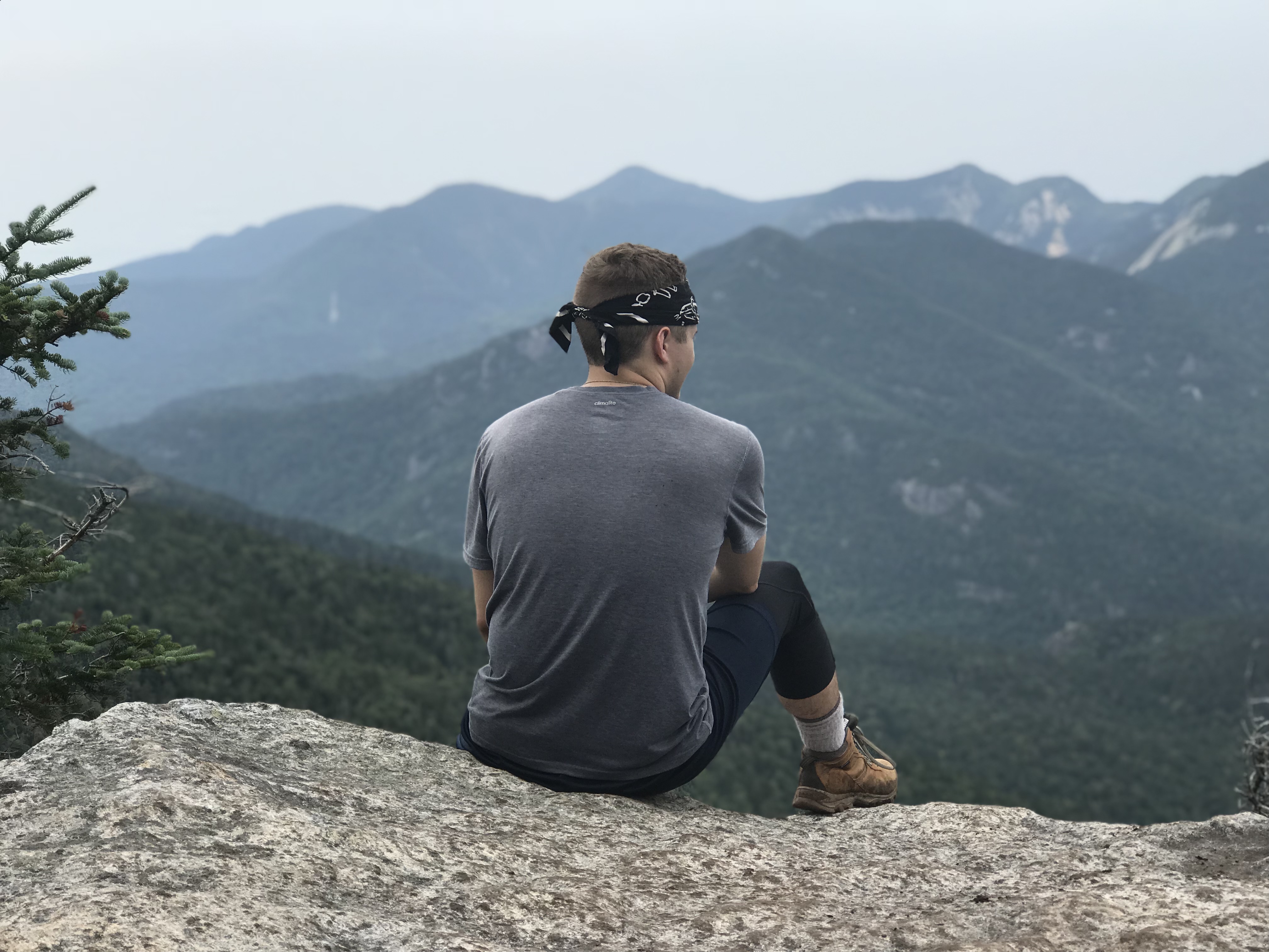
The summit is not particularly large, and the views are not 360º, but it still offers a nice view and a good spot to break down before making your way towards Nippletop Mountain.
Off to Nippletop Mountain!
After summiting Dial Mountain, you will be on a very long ridge for quite a bit of time. There are occasional ascents and descents, but nothing drastic and there was not nearly as much mud as I had expected there to be. There was one spot with deep mud, but it is avoidable. I was able to keep my feet dry by testing different spots with my trekking poles. Soon enough you will hit another sign and if you feel the way I felt at this point, you will be relieved. The sign states that you are .2 miles away from Nippletop and it is a huge morale booster.
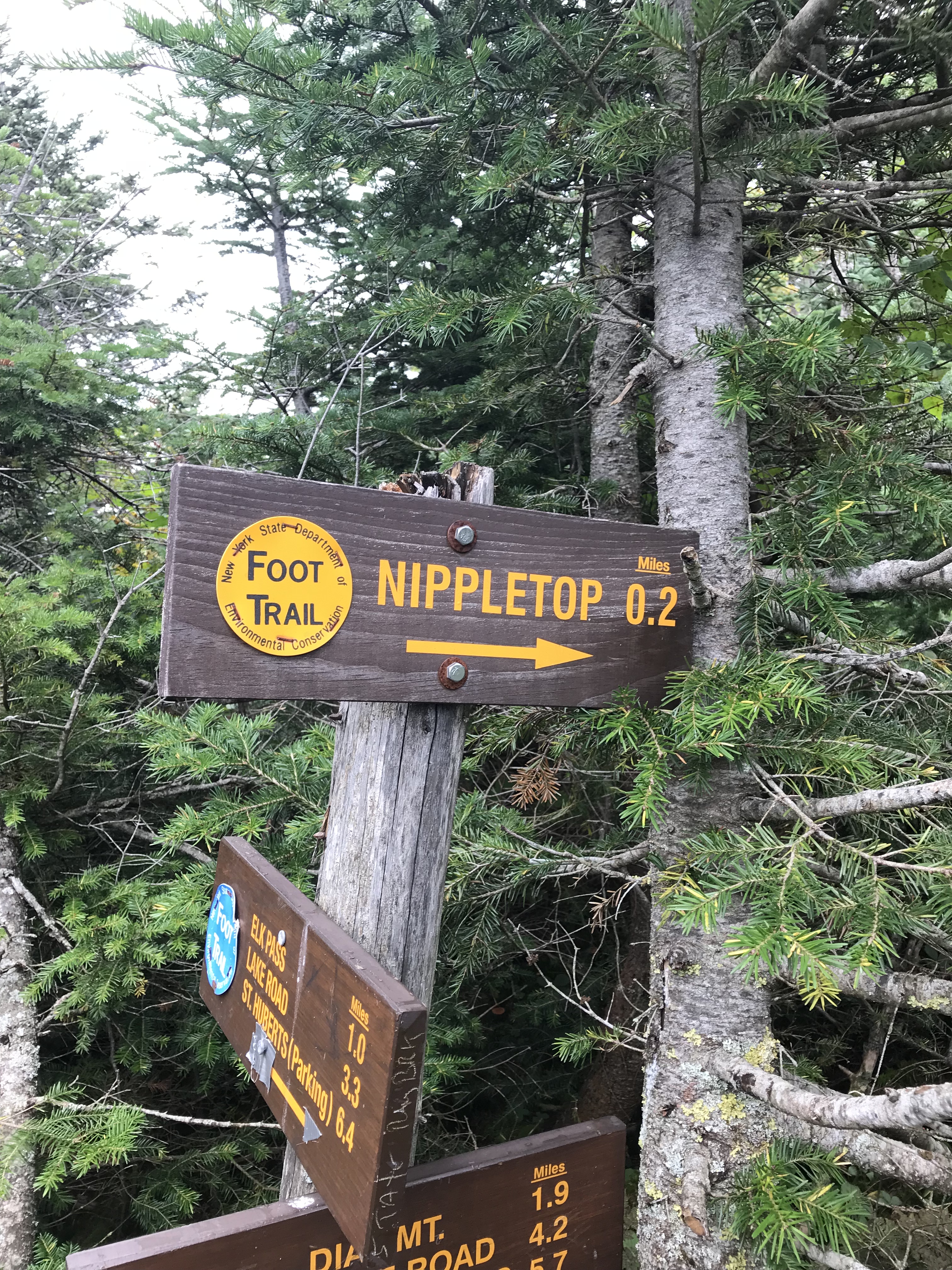
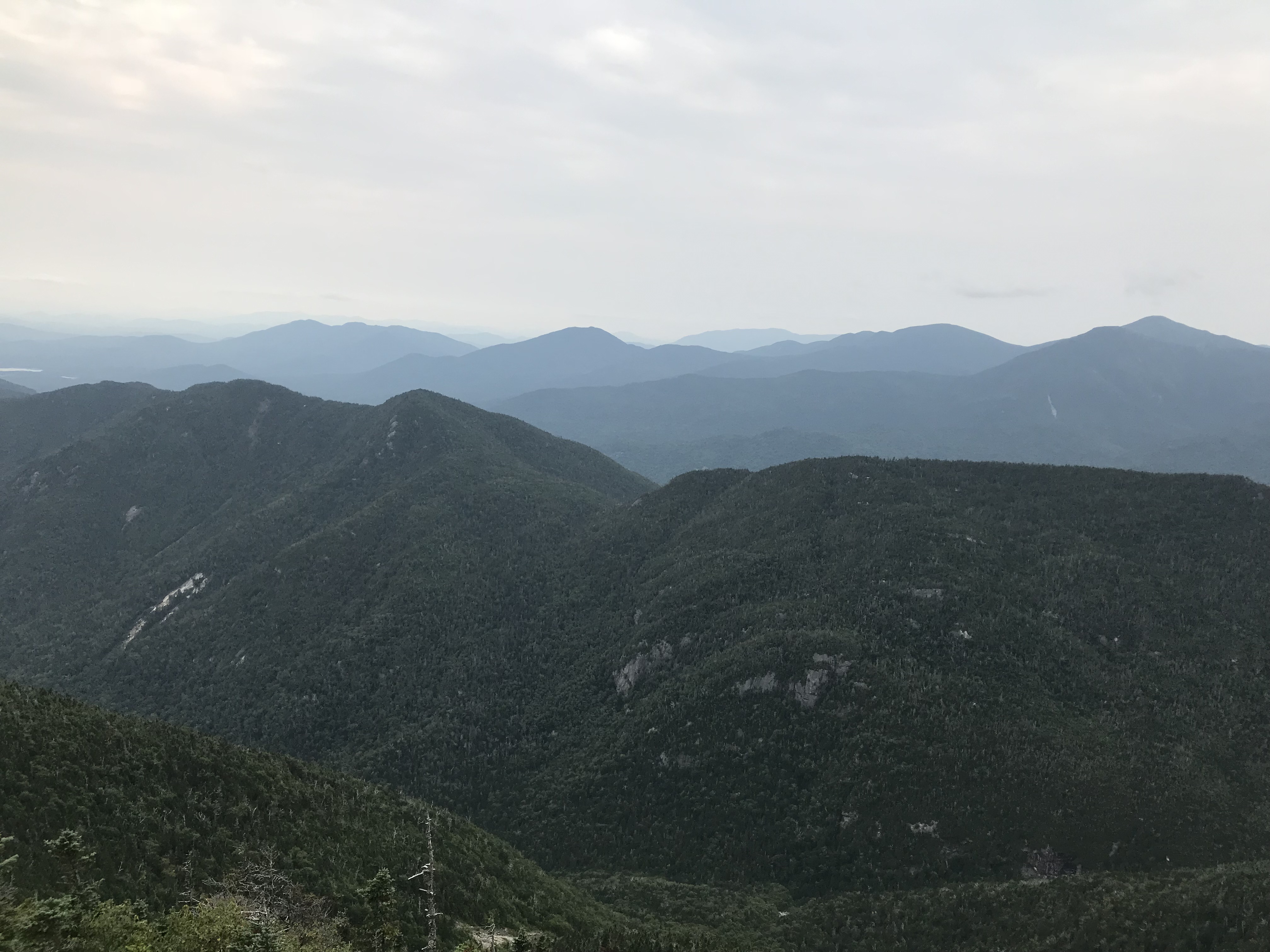
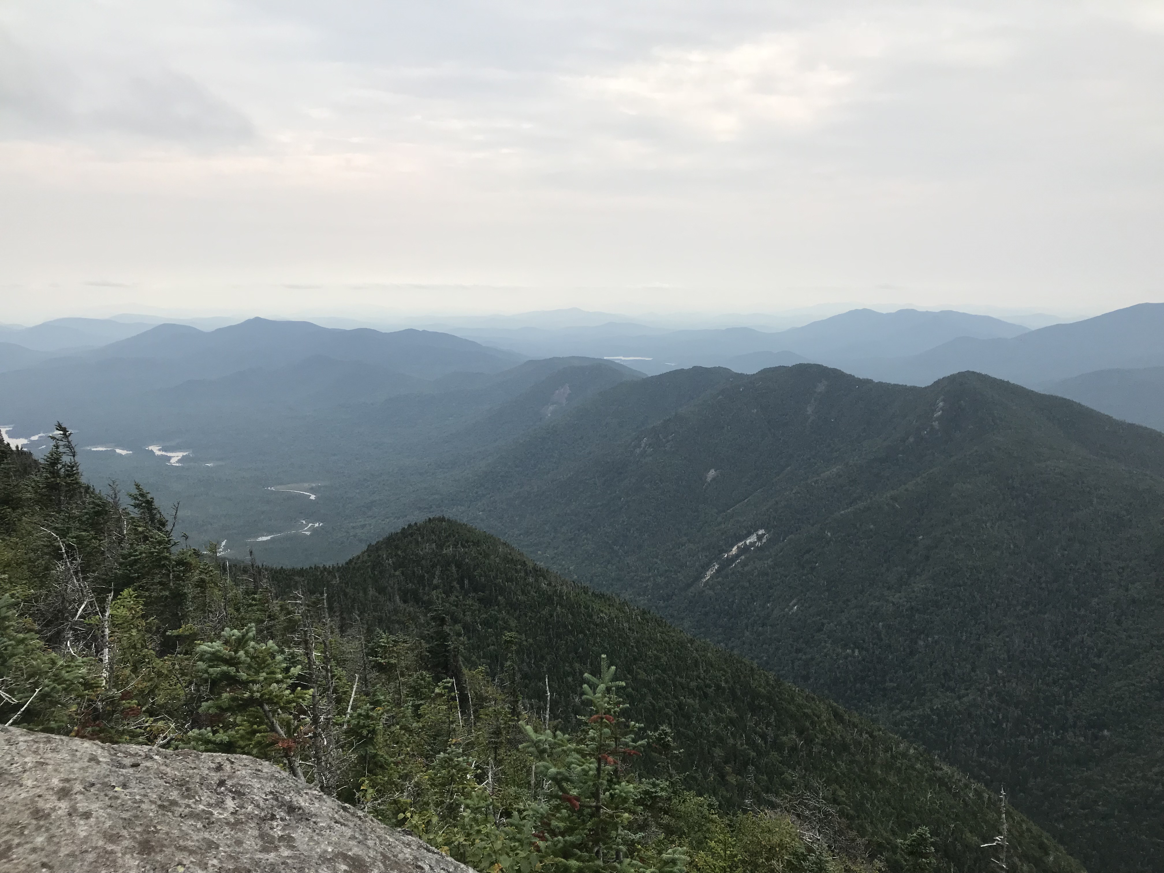
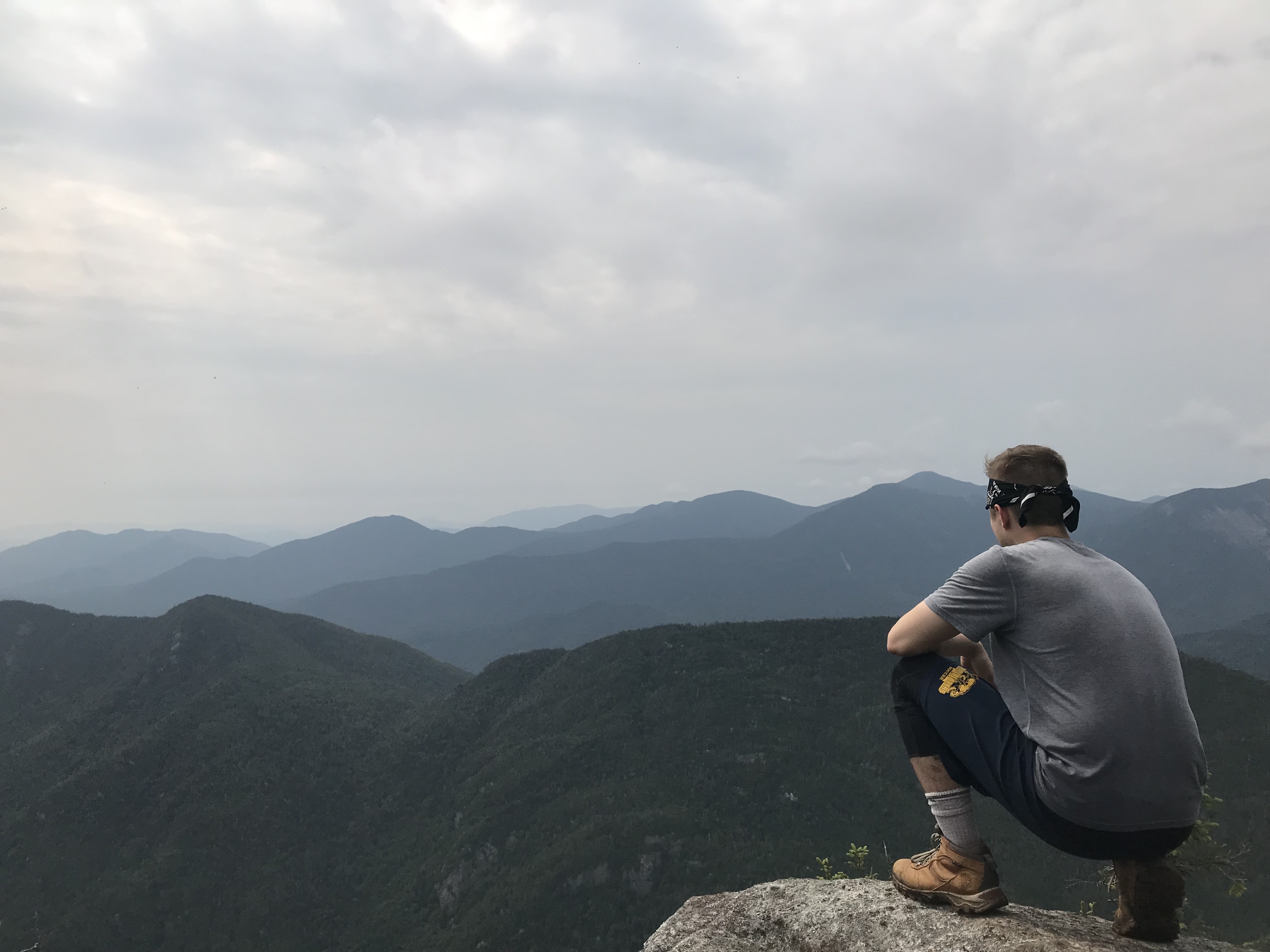
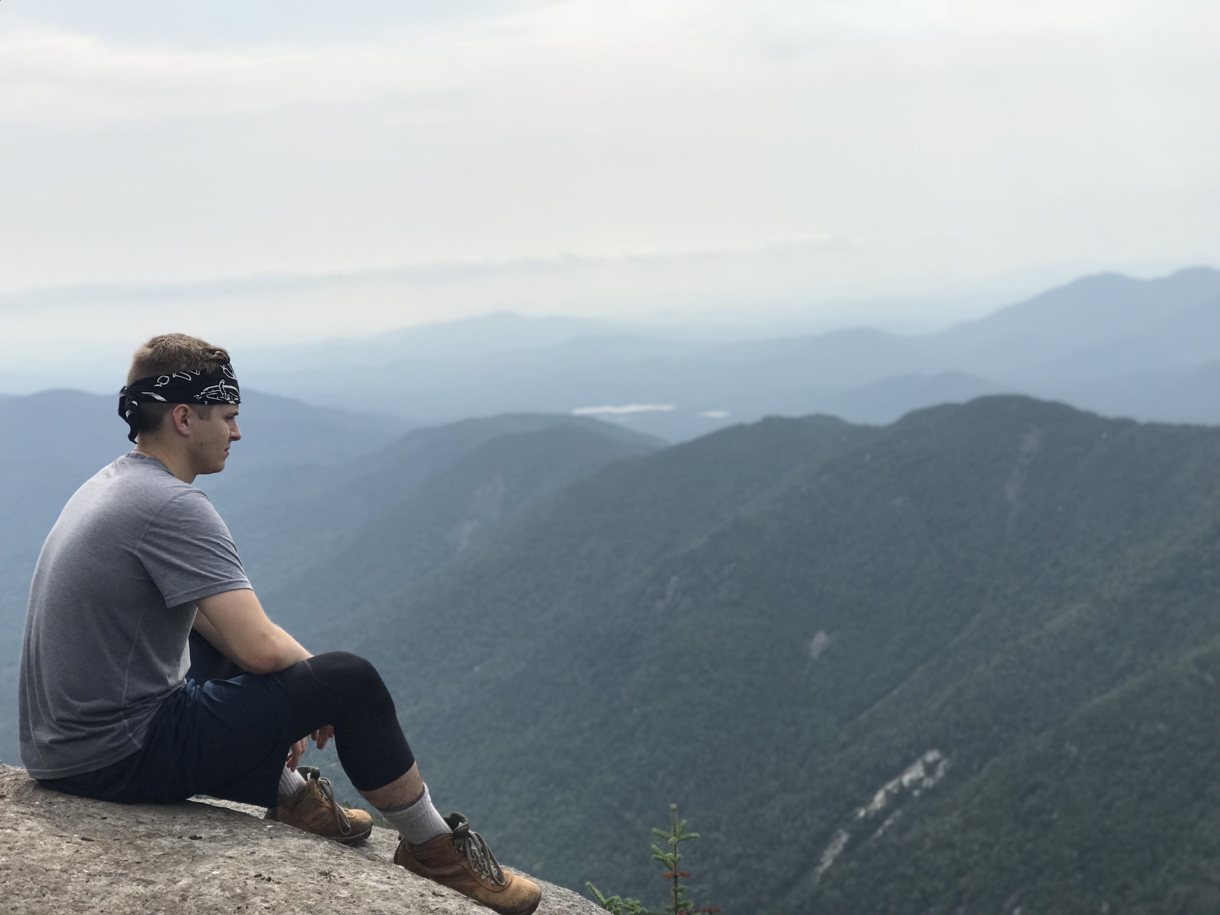
As you continue forward, you will climb a little bit more. You will hit a a few rocks that you may need to use your hands to get up and over. Once you hit the summit of Nippletop, the views of the Great Range are absolutely breathtaking. This mountain sits at 4,620′ putting it at number thirteen of the forty-six Adirondack High Peaks. We hit the summit at approximately 2:30 PM. I suggest hanging on the summit for a bit to take it all in. You can see mountains for miles upon miles.
Getting Back to The Parking Lot
That sign that was mentioned above, “Nippletop .2 miles,” also had two signs underneath it. Here is a what they stated…
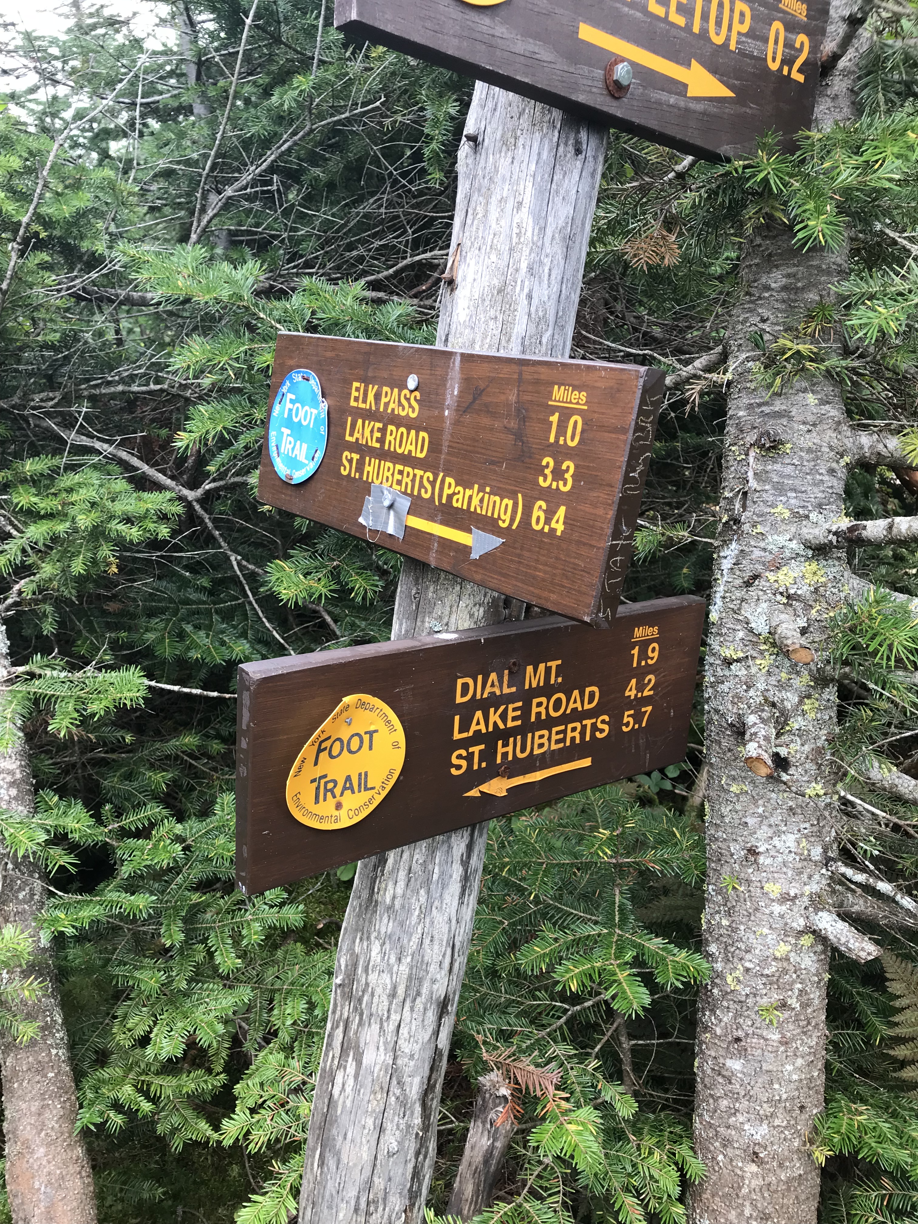
You will have the option to either go back down through Leach Trail or go down Elk Pass. Although the Elk Pass route was a little longer, we did not want to go back up and over Bear Den Mountain. We also wanted to see what Elk Pass would have to offer. First and foremost, this trail from Nippletop is a steep descent. The rocks and roots were also pretty slick in some spots. I will have you know that I wiped out twice. Did it hurt? Yes. Did it phase a warrior like myself? Of course not. Do be careful though because falling on rock is not pleasant and you could get injured if you fall in a steep section of the trail.
After descending for quite some time, you will pass a campsite area. There were some small wooden bridges built over the muddy and marshy ground. After passing over these, you will be able to view a pond to your left (will be on your right if you hike Nippletop via Elk Pass).
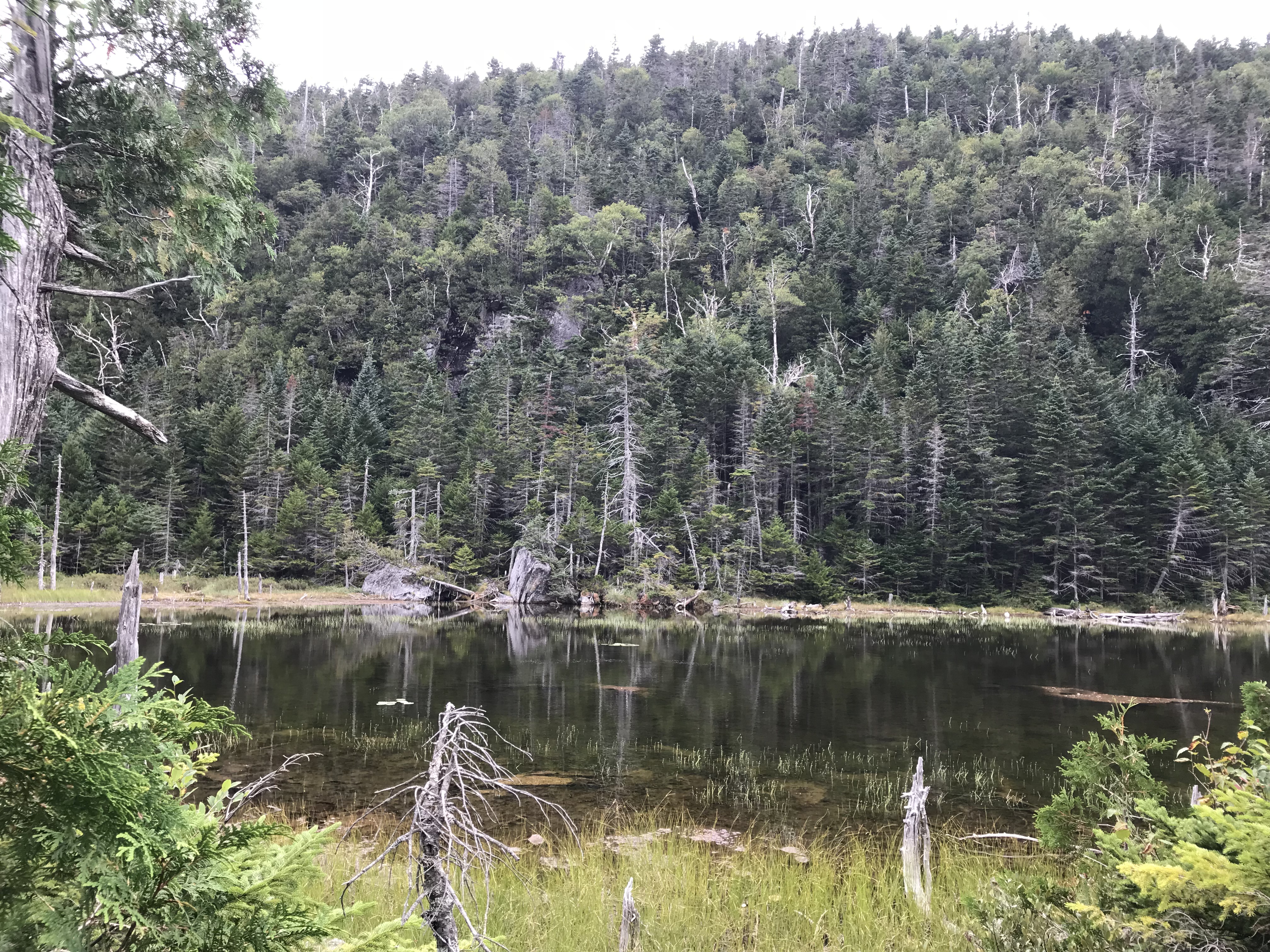
At this point, you will have gotten through most of the steep descent. Keep hiking and you will hit a sign where you have the option to hike Colvin (do not do unless you have significant time) or continue down. We continued down, passed some campsites, and eventually took the Gill Brook route. One should definitely take this trail down towards Lake Road. It is filled with small waterfalls and the moss under the running water gives the illusion that the water is turquoise. For a small brook, it was actually quite stunning. You can follow this trail until it meets up with Lake Road and at this point, you should be set. There is no need for me to explain anything else once you hit Lake Road.
Errors That I Made
I have hiked quite a few mountains, but I still do make occasional mistakes. One lapse of judgement that I had was that I should have packed more food. I had just enough food to be comfortable, but I would have liked to have a lot more with me. My second error, and a much larger one, was not staying hydrated enough. I had more than enough water, but I did not intake as much as I should have been. Dial and Nippletop is a long hike and you will be losing a lot of fluid.
Gear brought on dial and nippletop hike
I brought the usual gear for Dial and Nippletop that have been posted about in prior blogs. This time I left out the Canon camera as I wanted to carry more water. The main essentials I had this time were
- Water
- Food
- First-Aid
- Change of clothes (I always bring two pairs of everything)
- Rain/wind resistant pants
- Paracord
- Carabiners
- Bug-spray
- Knife
- Garbage bag (for myself and garbage I find along the trail)
Sidenotes
- Dial Mountain sits at 4,020′
- Nippletop Mountain sits at 4,620′
- These mountains are best done in a loop
- Make sure you give yourself enough time to hike these two mountains
- After hiking, check out Noonmark Diner. The food there is very good, especially after being on your legs for many miles
RTW Note
My Road Trip Warriors, I hope this was helpful for those looking to climb Dial and Nippletop Mountains. Every mountain offers its own unique perspective of the surrounding landscape so I always encourage people to get out and climb. It is a great workout and it is much better than being cooped up inside. Also, to anyone reading this, I urge you to start bringing a small bag with you for trash. Now when I go hiking, if there is garbage along the trail I make sure to grab it. You should as well because it is crucial that we protect the environment. Enjoy your adventures and stay safe!
-Ant
