High Peak 24/46
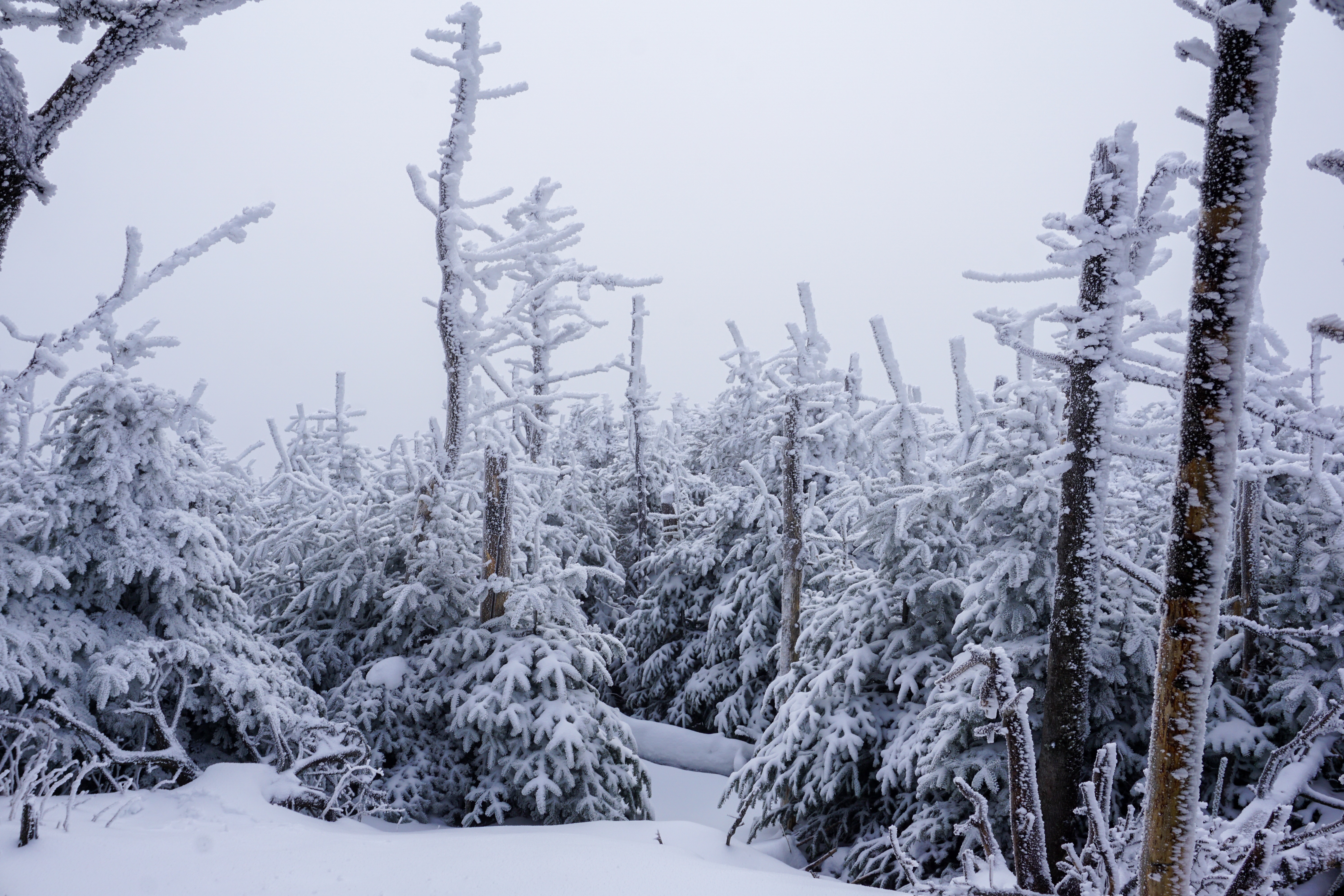
What up Road Trip Warriors!? I snagged yet another Adirondack High Peak and I am very excited to share with you all the info I could gather about this hike! I just want to note that this trail is the same one that will bring you to the split where you can hike up to Phelps Mountain. Obviously this time I chose the direction toward Indian Falls/Tabletop because that was the High Peak I wanted to summit. It was a foggy, snow-filled day which made for some picturesque scenes in the forest. I hope this blog can shed some light on one of the more popular “trail-less” Adirondack High Peaks!
Summary of Tabletop Mountain
- Difficulty: Moderate/Strenuous
- Length: 5 miles to summit, 10 miles round trip
- Elevation: 4,427′ above sea level
- Hiking Time: 7-8 hours
- Elevation Gain: Approximately 2,300′
- Photo Opportunities: Marcy Dam is a great spot to take some photos. The weather on this hike provided some really cool opportunities. I was able to capture the green conifers with the white, snow-covered trees behind them. Fog then made those snowy trees disappear. There is also a bridge on the way to Tabletop (not the one that gets you across Marcy Dam) that is a great spot as well.
Trailhead
The trailhead for Tabletop Mountain can be found at the Adirondack Loj. Follow Route 73 towards Lake Placid and Adirondack Loj Road will eventually be on your left. You will reach it well before reaching the ski jumps. Follow the road for about 3 miles and you will have reached the Loj. It costs $12 to park for the day. Don’t forget to sign in at the wooden structure at the trailhead! Be careful while driving down this road in the winter. I almost fish-tailed into a ditch and that prompted me to get snow tires fast!
Gearing Up
As mentioned in some prior posts, it takes a little longer to gear up for a winter hike. You should be wearing micro-spikes, gaiters, gloves/mittens, etc. You’ll also most likely have to strap your snowshoes to your backpack since they probably won’t be needed until later. All of this takes time, but it is necessary for your safety and others’ safety as well. Micro-spikes increase traction on icy trails while snowshoes prevent you from sinking into the deep snow. If you don’t wear snowshoes, and posthole into the trail, the trail then becomes less safe for others. Rangers will also ticket you if they see you without snowshoes in winter conditions…..so it is clearly in your best interest to bring a pair!
Marcy Dam (2.3 miles)
Marcy Dam is 2.3 miles from the Adirondack Loj and it is always worth the stop. This was my second time taking a pitstop here and it won’t be my last. The forest just opens up into this wide open area where streams run through where the dam washed out. With the fresh snow and thick fog, I was able to capture some really great photos here!
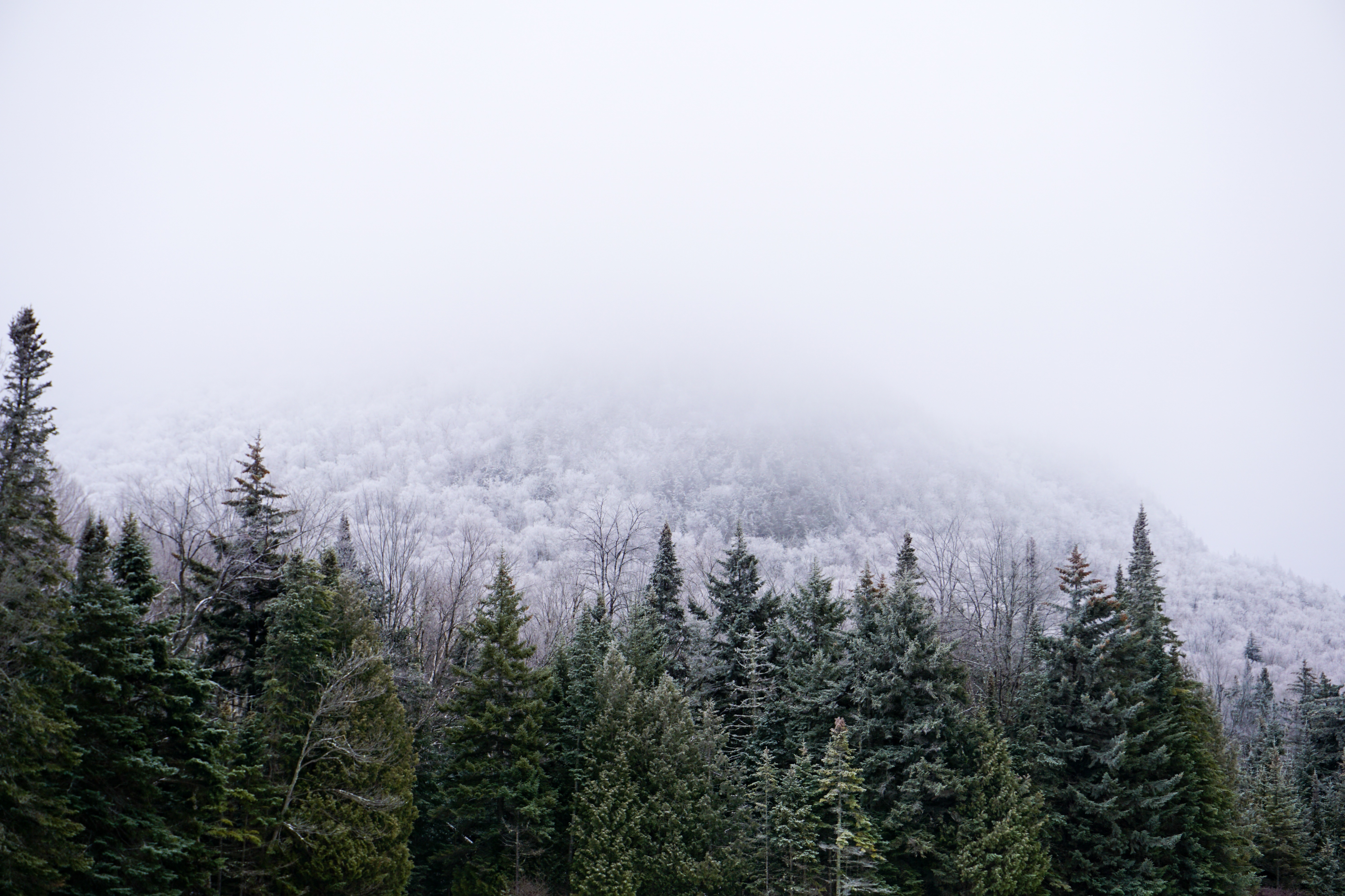
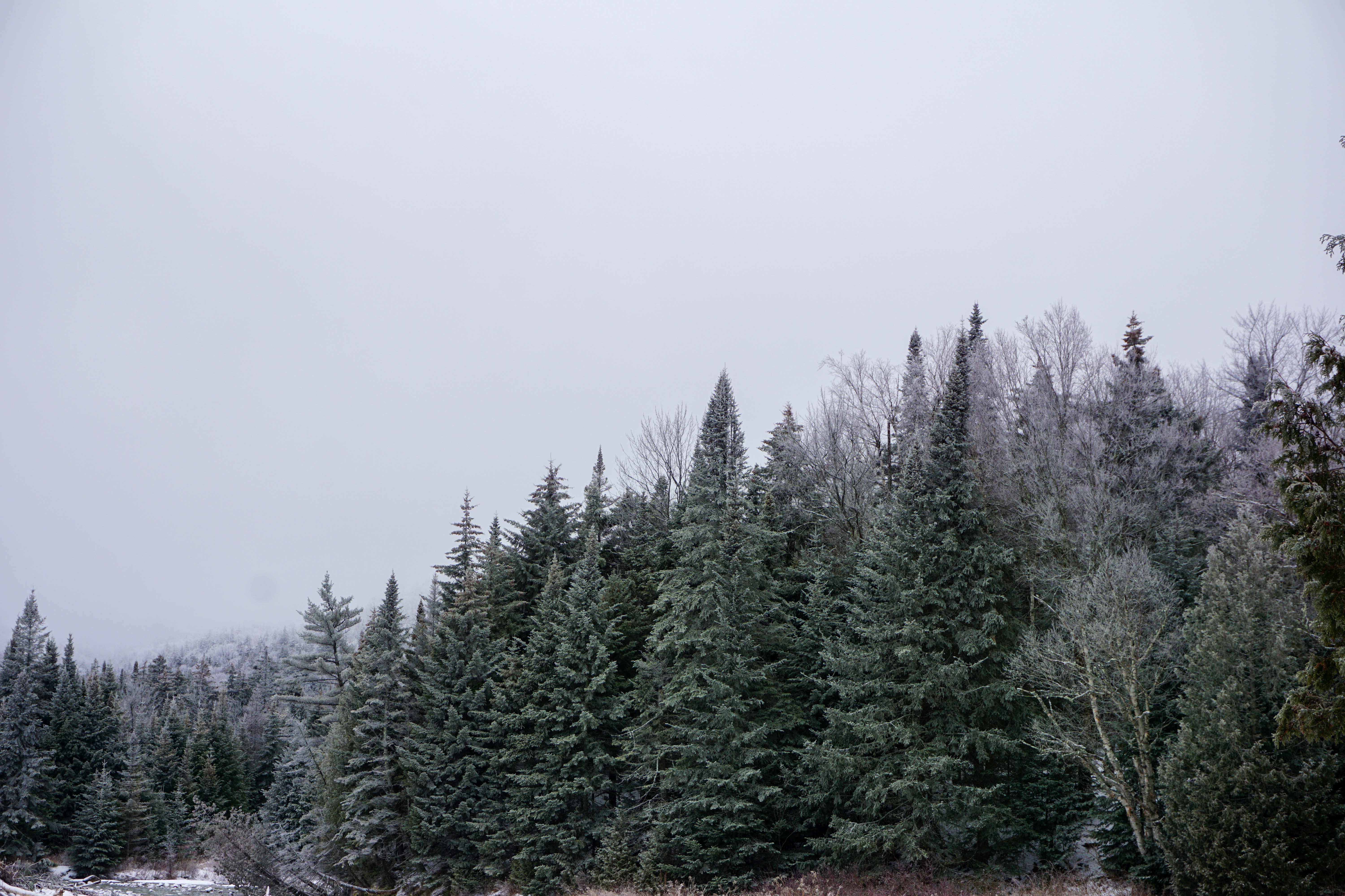
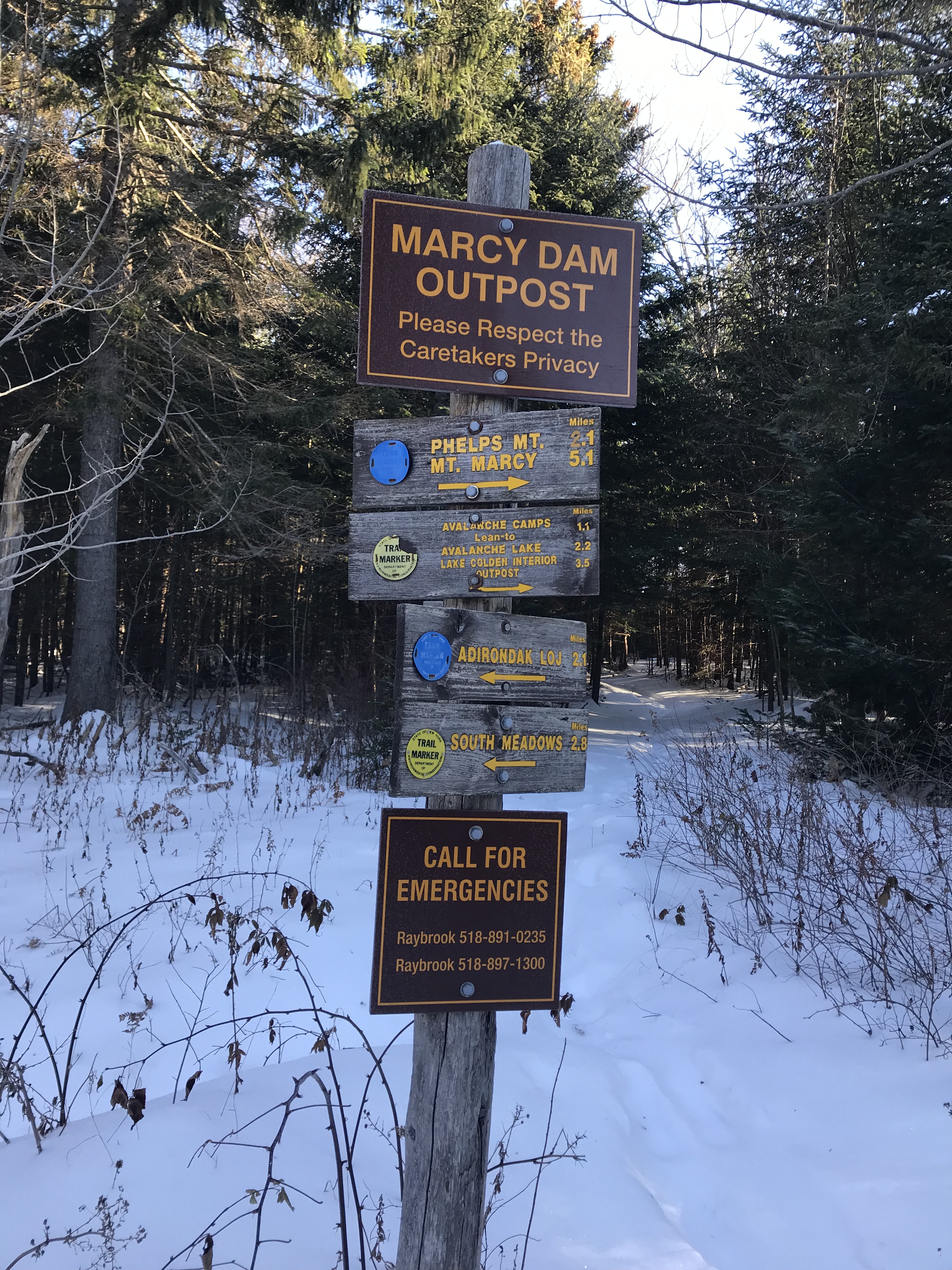
At Marcy Dam take a left and follow the trail to a wooden bridge where you will be able to cross. Then take a right that will bring you back up to the other side of Marcy Dam where there is a wooden post with multiple signs. A trail register is ahead for the mountains that ascend from here. There is a split for Avalanche Pass further up the trail on the right. Continue left towards Phelps and Tabletop.
Phelps Mountain Split (3.2 miles)
Ah, the Phelps Mountain split. If you read my last post about the Phelps Mountain hike, you’ll know that taking a left will bring you up a steep climb that does not let up until you reach the summit. The views are phenomenal though and I highly recommend.
For Tabletop, you’ll want to continue right heading towards Indian Falls and Mount Marcy. Walk down a ways and you’ll have to traverse a well-built wooden bridge over Phelps Brook.
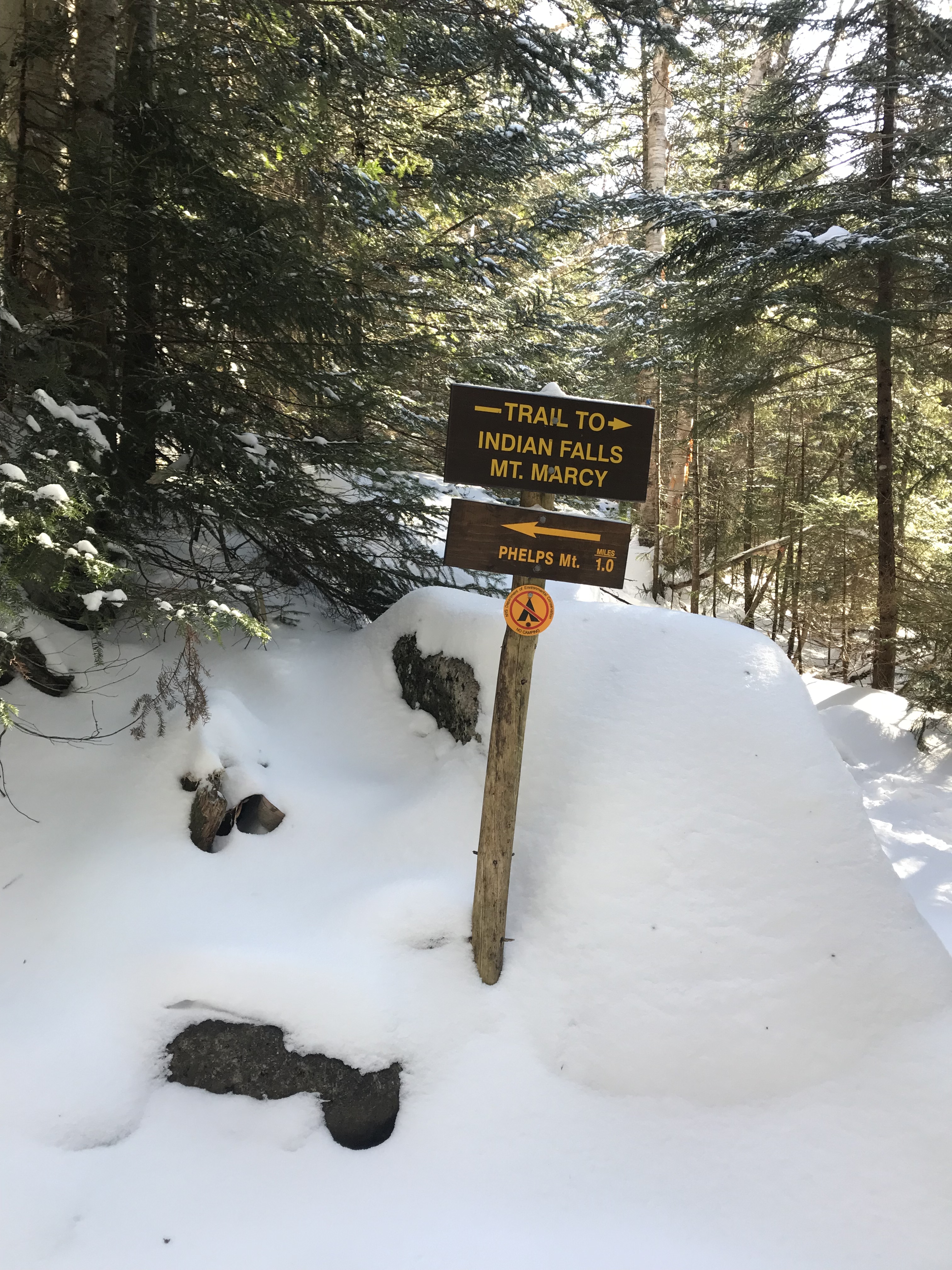
Trail Sign to Tabletop, Indian Falls, and Mount Marcy
I just wanted to include some photos to indicate the wooden signs you should see while following the trail. The signs are hard to miss and the trail is relatively easy to follow, especially since the snow was so packed in from prior hikers. At this point the trail does steepen pretty significantly. Prepare your body to start ascending.
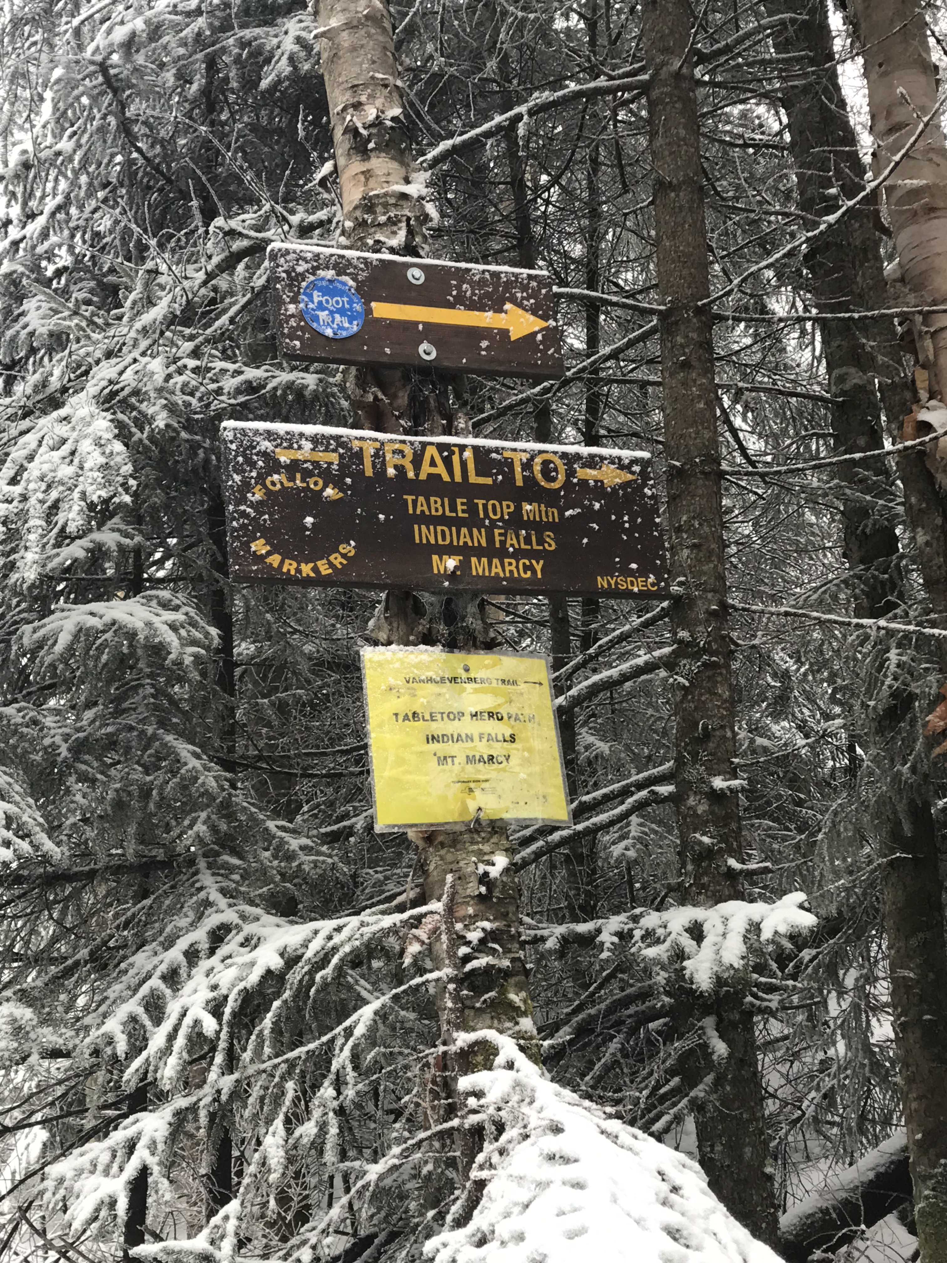
If you are hiking in the winter, make sure that you are delayering as you start to sweat. It is important to sweat as little as possible because the last thing you want is that sweat beginning to freeze.
Trail Signs to Indian Falls and Route to Tabletop Mountain
This will be the another wooden sign that you encounter as you continue towards the Tabletop herd path sign. I’m not sure how much longer that yellow sign is going to last. It looks like it has seen better days.
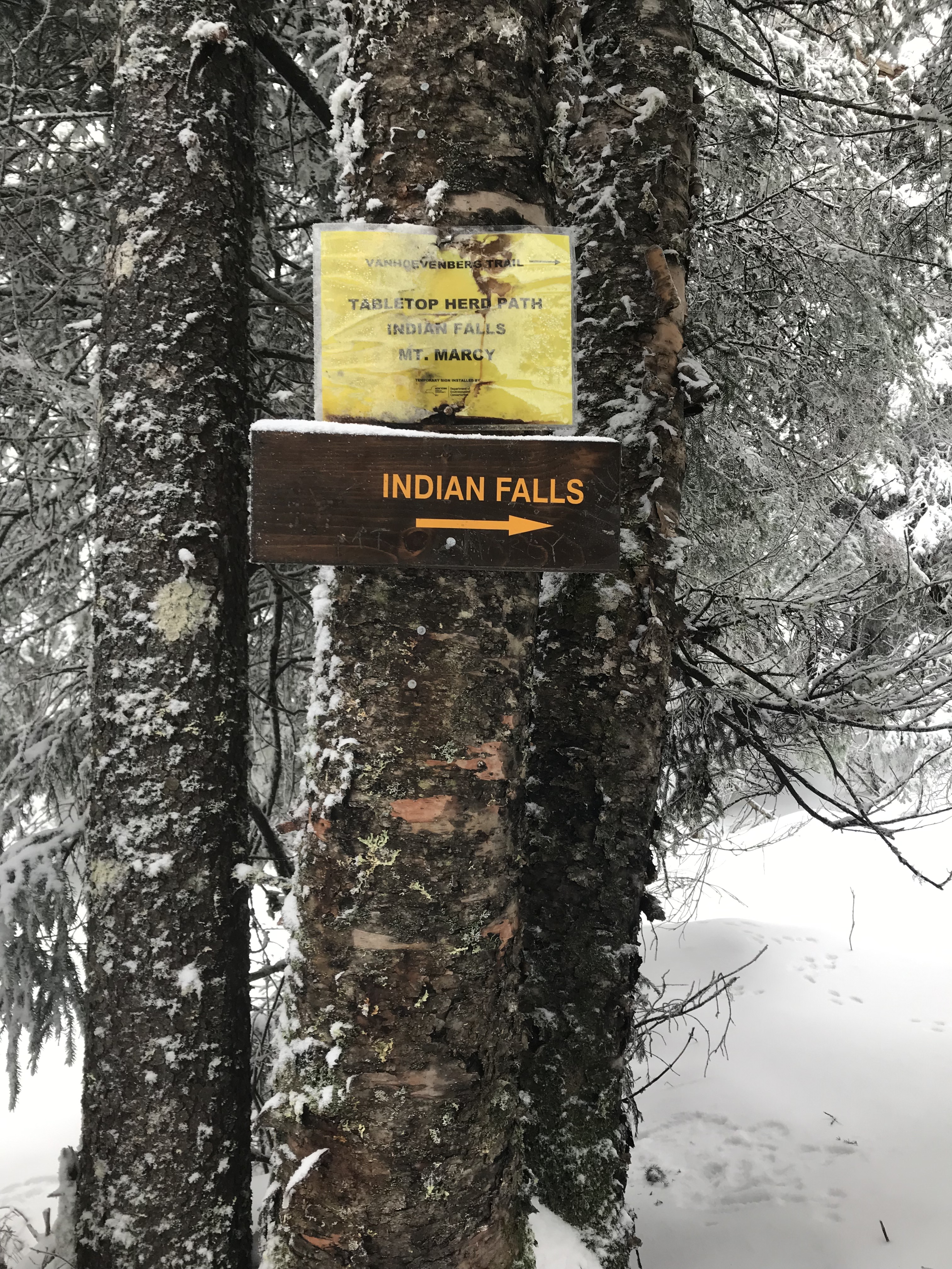
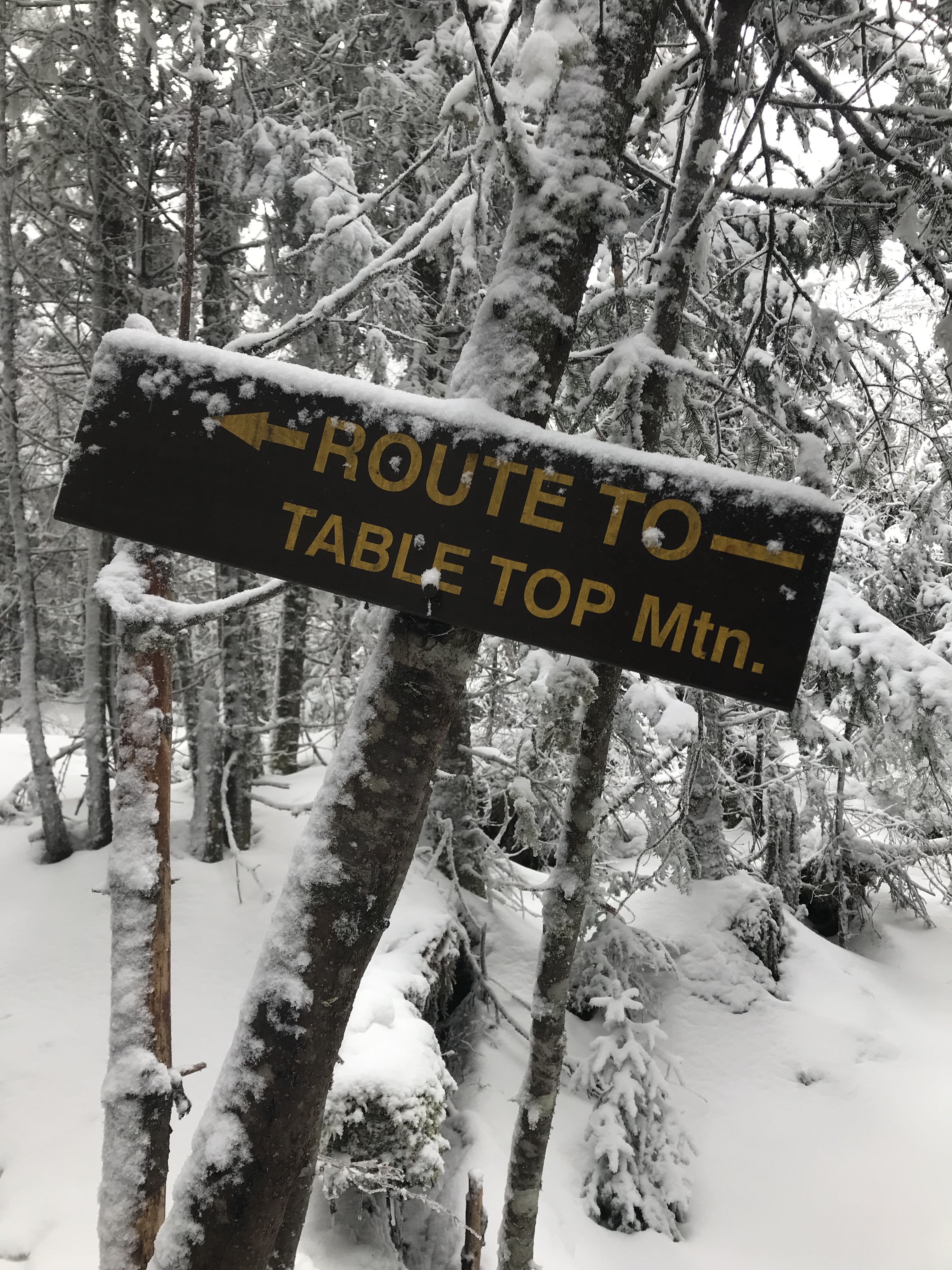
The Herd Path to the Summit
At this wooden sign you will bear a left. This is the herd path that is “trail-less,” but it is very easy to follow. The only tough part about the trail is that it gets very narrow and it is steep in some spots. This is where having micro-spikes is a tremendous help. My brother did not have them, and well, he suffered the consequences (slipping, struggling to get up ice, etc).
I’m sure this hike isn’t nearly as difficult during the warmer seasons. Remember that I am basing this blog off of winter conditions.
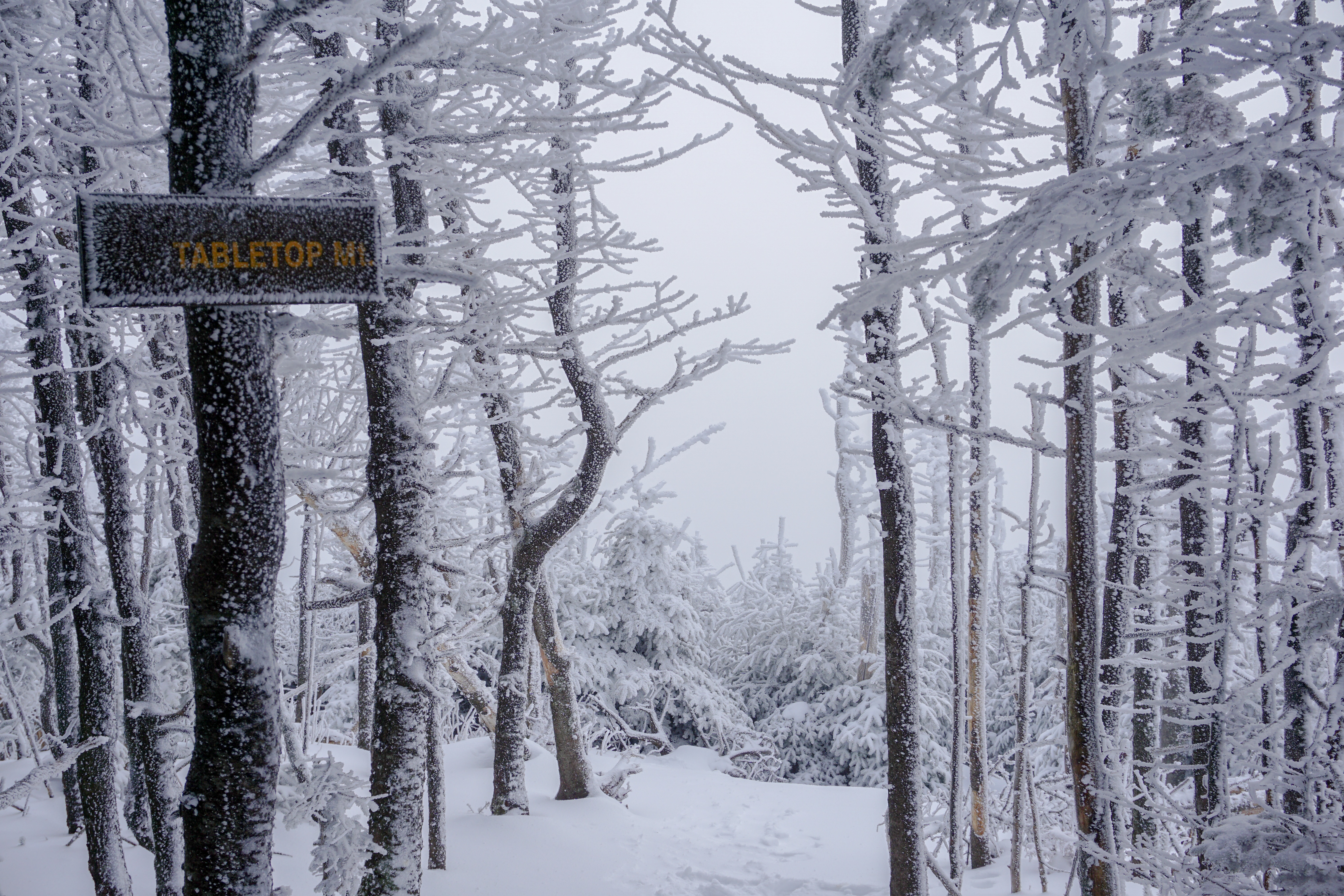
Summit of Tabletop Mountain
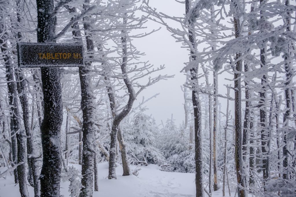
The summit of Tabletop is wooded, but there are views of the Great Range just past the summit. Unfortunately fog obscured those views and we were left with just snow-covered trees. There is a wooden sign on the summit signifying that you have reached the peak. Since it is protected from the wind, it isn’t a bad place to hang out and relish in your accomplishment!
Getting Back to the Trailhead
Tabletop Mountain is an out-and-back hike which means backtracking will get you to the Adirondack Loj where you parked. Be careful on the descent and especially where it gets narrow. The last thing you want is to slip and fall into a tree, twist your ankle, etc. It only takes one bad fall to end up in a rough spot.
On your way back, when you reach Marcy Dam, take a right and watch for the sign that points to the left where you will recross the wooden bridge.
Dog-Friendly
This hike is dog-friendly! I saw some dogs hiking on the trails from the Adirondack Loj. There were none doing Tabletop Mountain, but dogs are not restricted from it. All I have to say is keep an eye on your pup’s paws and how they are handling the cold temps.
Fam-Friendly
This hike is fam-friendly, but I don’t suggest bringing any children on this trail during the winter. The difficulty increases with snow and ice. It is more tiring on the body and requires much more effort. Unless they have experience hiking mountains in these conditions, you may want to wait until the warmer weather.
Clothes/Gear Worn
- Timberland Hiking Boots
- Nike Compression Leggings
- Athletic shorts
- Adidas Joggers
- Underarmour long-sleeve
- Athletic T-shirt
- Athletic Long Sleeve Pullover
- LL Bean mid-layer jacket
- Winter Beanie
- EMS Hiking socks (warmest pair they make)
- Gloves (with hand warmers in them from Stewarts)
- Gaiters
- Kahtoola microspikes
Gear/Food Brought
- 2.5L of water
- Almonds, peanut butter granola bars, and peanut butter sandwiches
- Extra EMS hiking socks
- LL Bean outer-shell jacket (switched into this on summit)
- Extra Wind-breaker jacket
- Balaclava
- Bandana
- Extra shirts, compression shorts, and underarmour
- Wind/Rain Pants
- Emergency tents and blankets
- Knife
- Paracord and two carabiners
- Water-proof matches
- LifeStraw (water filtration, costs about $20)
- Trekking poles
- First-Aid Kit
- Garmin inReach (satellite device that has a GPS, can send texts, send SOS, and has many other helpful features)
RTW Note
Thanks for reading Road Trip Warriors!! I hope you enjoyed this information on hiking Tabletop Mountain! If anyone has had any recent hikes or trips that they really enjoyed, leave a comment! I would love to see what you all have been up to! I have more photos and hikes coming your way so smash the follow button and like this post! I appreciate all the support my fellow adventurers!
Remember to practice Leave No Trace while hiking and pick up after others. Little gestures spark larger movements and every little bit helps!
-Ant

Pingback: Avalanche Lake: Adirondacks – Road Trip Warriors
Pingback: Adirondack High Peak 25/46: Winter Ascent of Mount Colden via Lake Arnold – Road Trip Warriors