The Flatiron Mountains of Boulder, CO
What’s up Road Trip Warriors!? When I was in Boulder, I had made it a priority to hike the Flatirons before we left. We went to target, stocked up on water for the heat and some snacks for the trail. These mountains of Boulder are iconic for the way that they seem to shoot right up out of the Earth. We arrived at Chautauqua Park to find the trailhead and begin our way towards these beautiful natural structures.
Short Summary of The First/Second Flatirons Hike
- Difficulty: Moderate
- Length: 2.6 miles round trip
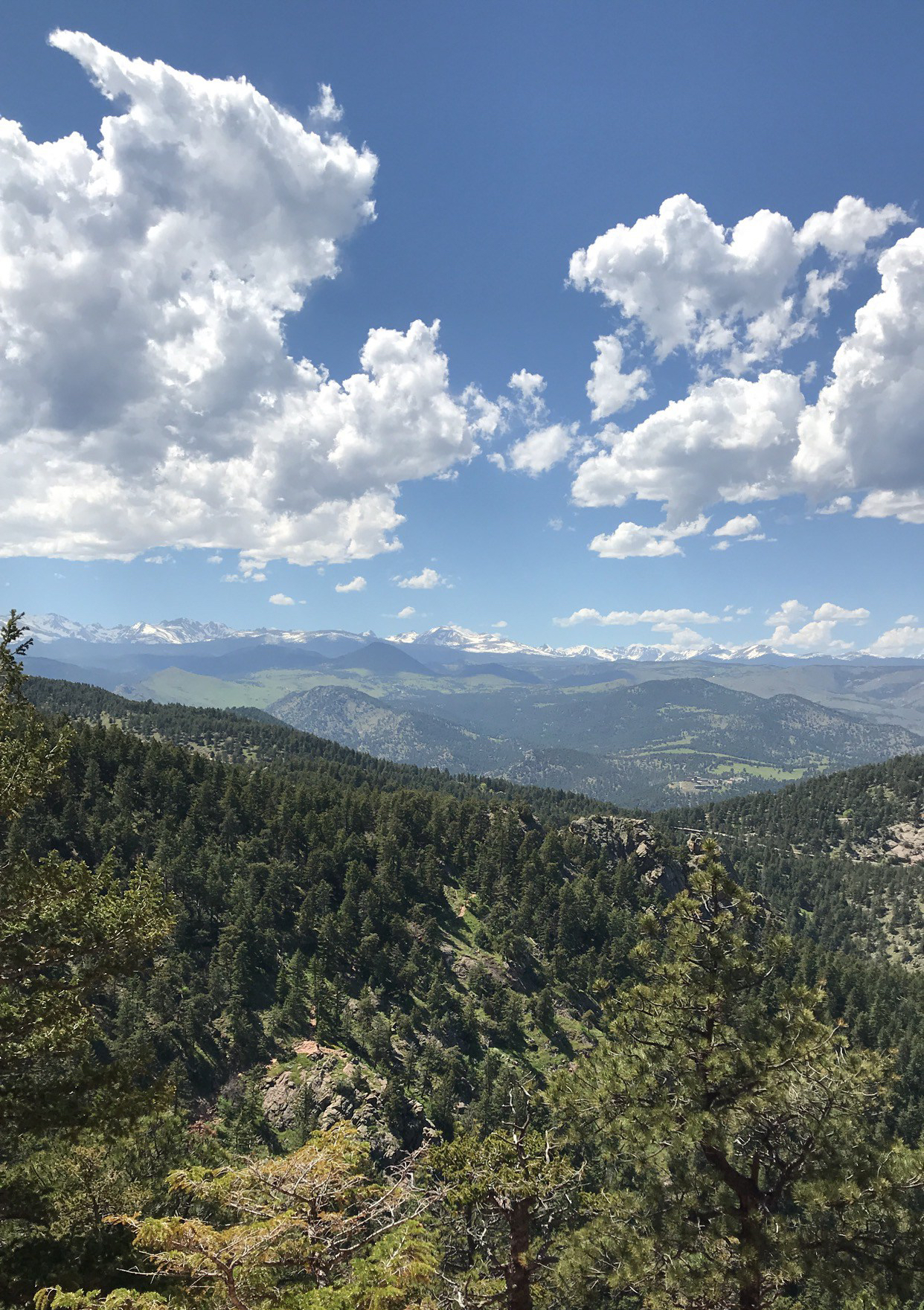
- Outlooks/Photo-Worthy Spots: The meadow you walk through on the way towards the Flatirons; as you climb, you will be rewarded with great vantage points of Boulder; if you walk around the back of the First Flatiron, you will have a great view of the Rocky Mountains
- Elevation Gain: Around 1,400′
Beginning our Trek at Chautauqua Park
I parked my car in the parking lot of Chautauqua Park. The parking here was free (except on the weekends..at least that was what I was told). We packed our hiking bags and got on with our way. I stopped in the ranger building by the lot to grab and map and some information about the trail. There were so many people out on this sunny day that I was not overly concerned. The only worry I had was my body acclimating to being 7,000′ above sea level. I was told some people get elevation sickness at 6,000′ and higher, but thankfully this never became an issue for me on my entire trip.
Heading towards the Flatirons, we walked through a beautiful meadow. Painters had canvases set up creating their interpretation of the surrounding environment. Runners made their way up and down the walkway, and older couples took pictures. This was the most captivating park I have ever been that radiated positivity and provoked creativity.
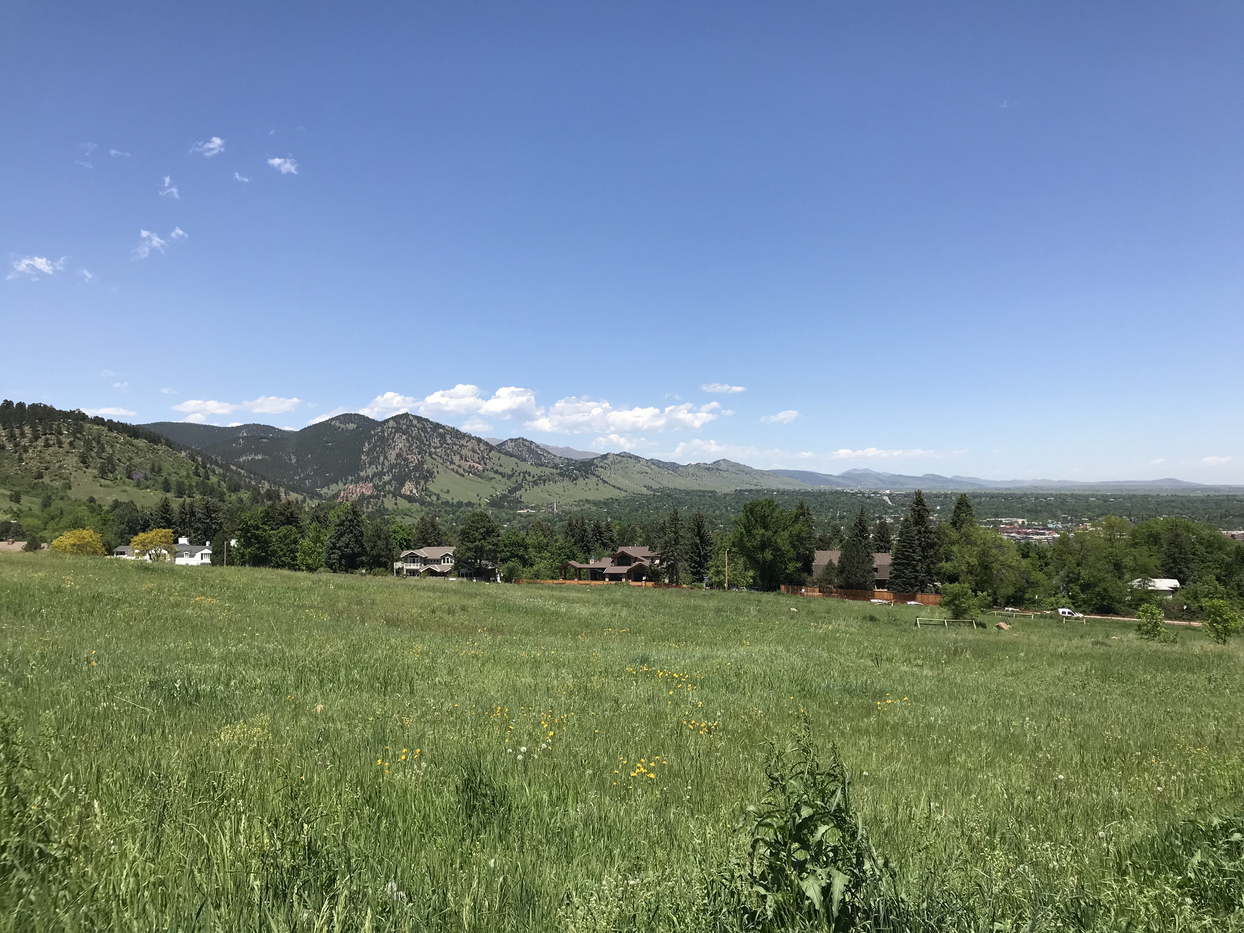
We trekked onward toward the Flatirons. This was my first hike out west and it was much different than what I was accustomed to. There were significantly less trees, the rocks were red, and mud was nonexistent. It was a welcomed change of scenery, taking me out of my comfort zone.
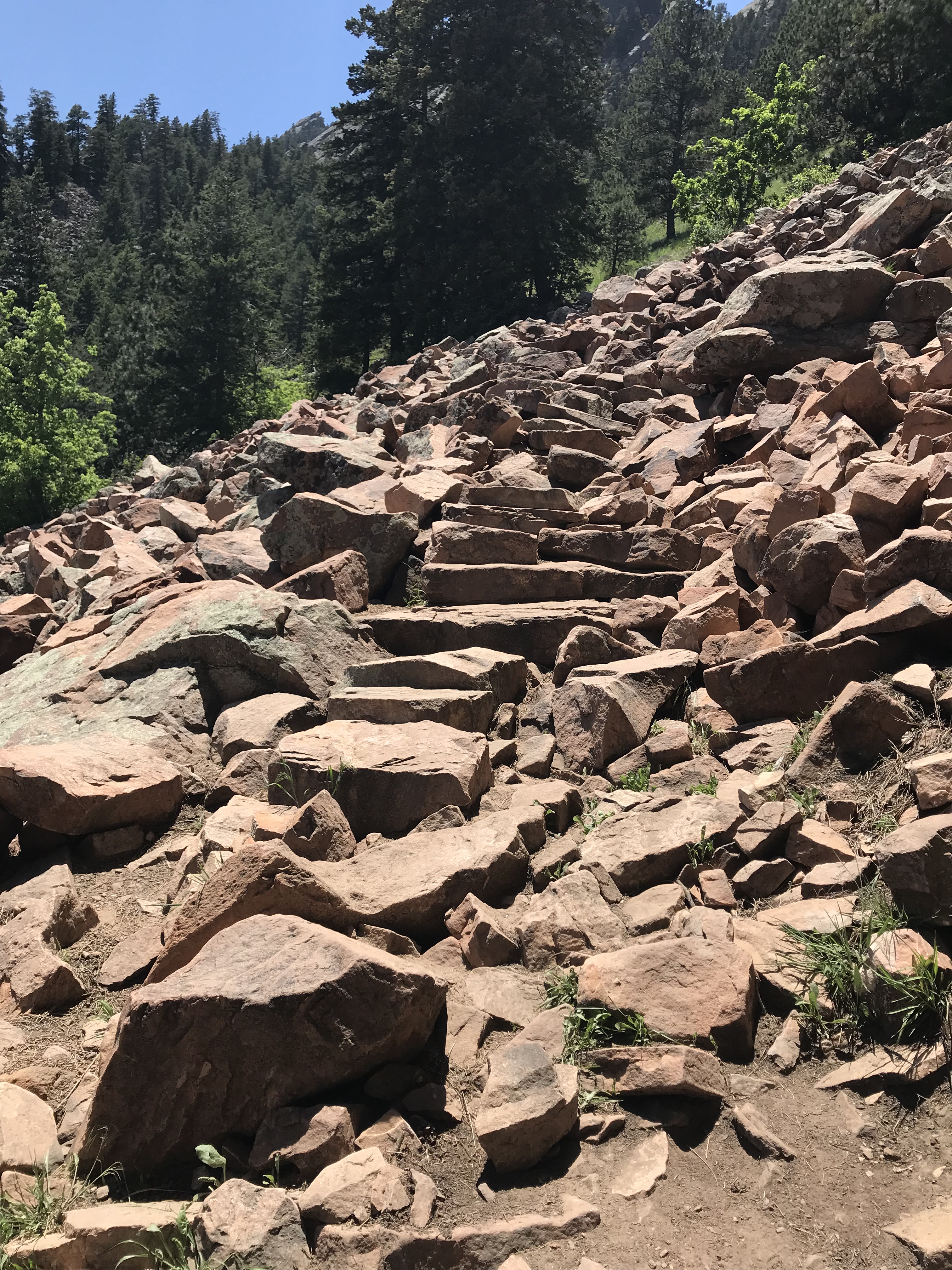
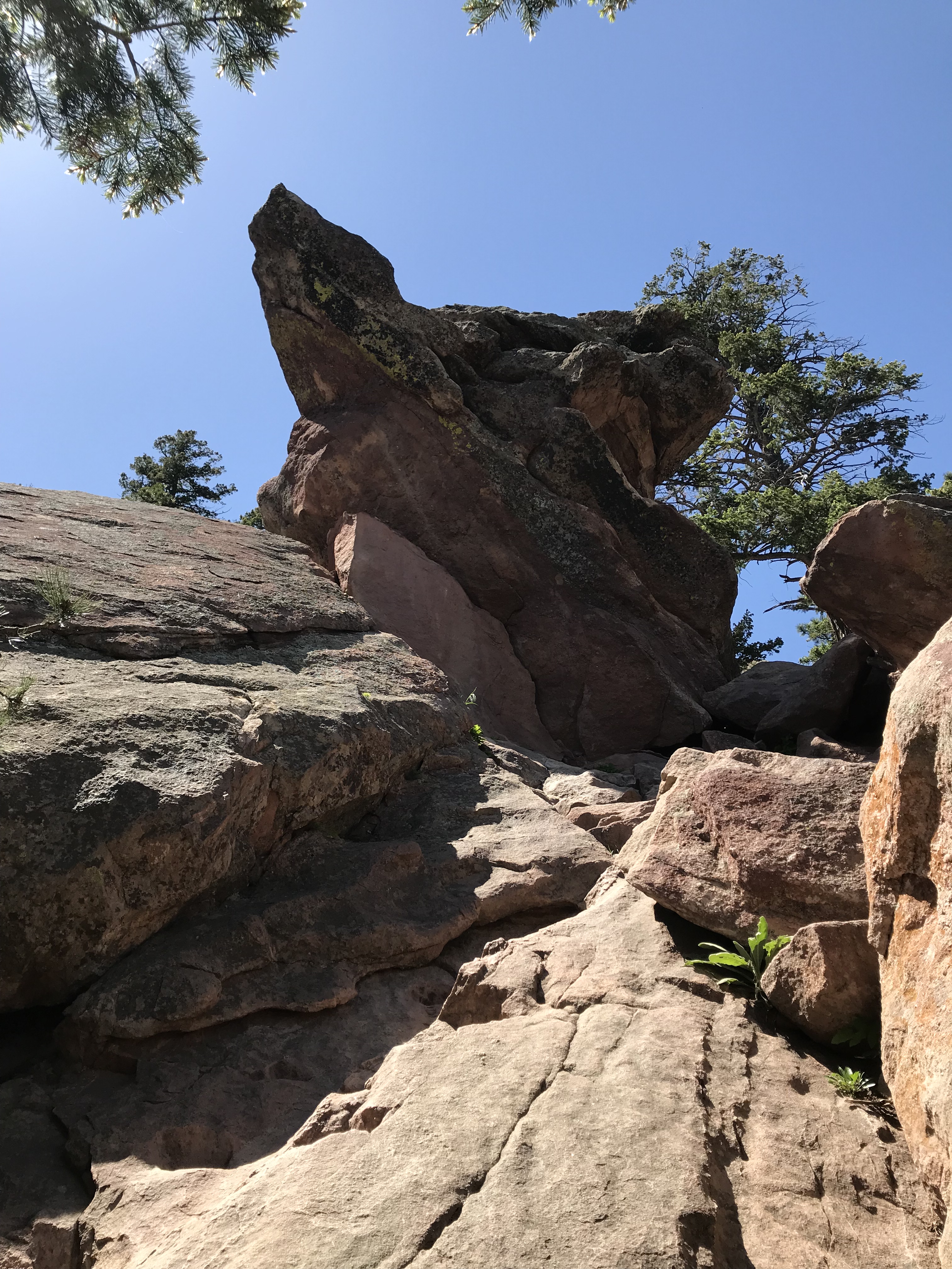
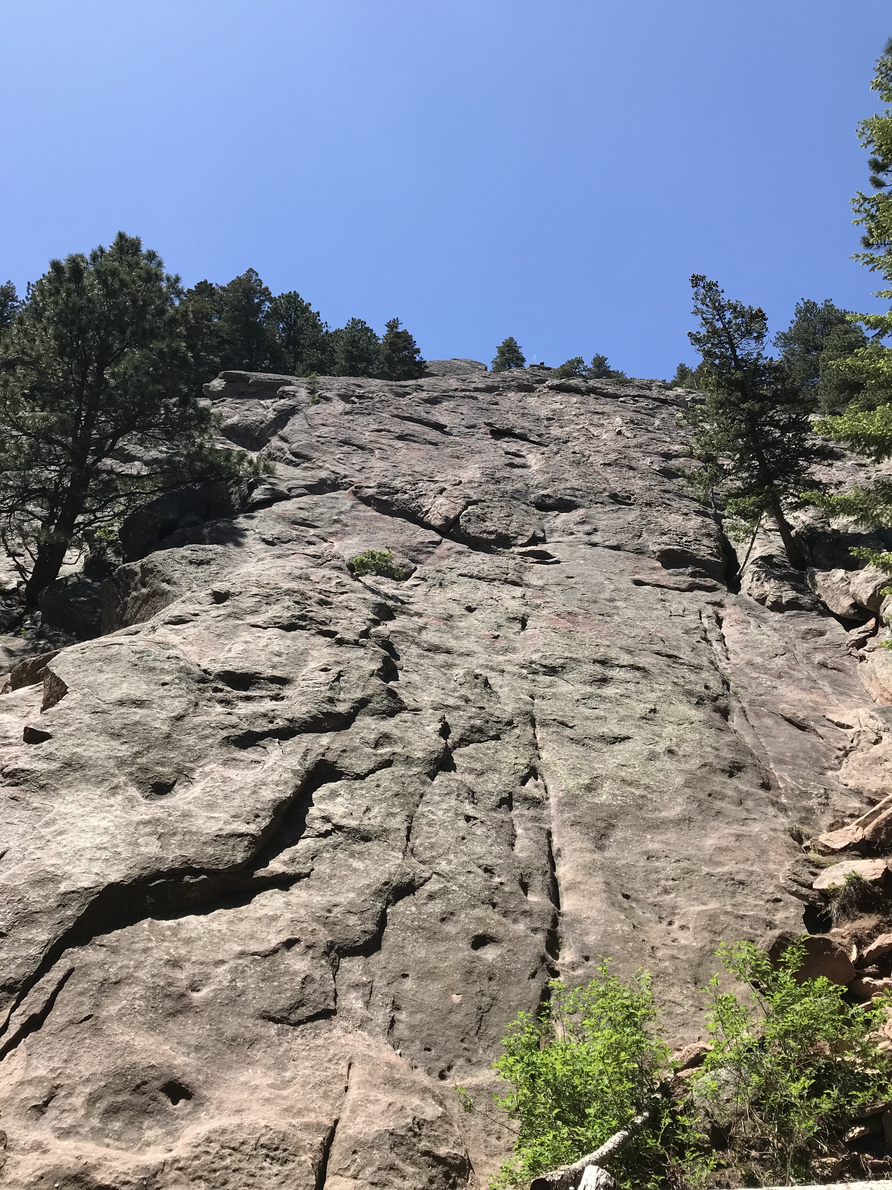
As we made our way along the trail, giant rock walls towered above us and natural rock formations grew upward from the ground. What surprised me about hiking in the Flatirons was how casual it was for so many people. A lot of the individuals we came across did not have hiking bags or any gear. Most just had water bottles, sneakers on, and their phones. My friend and I had 3L of water, our Canon cameras, and a bunch of snacks. We did decided to hike in sneaks after we saw most people were doing so.
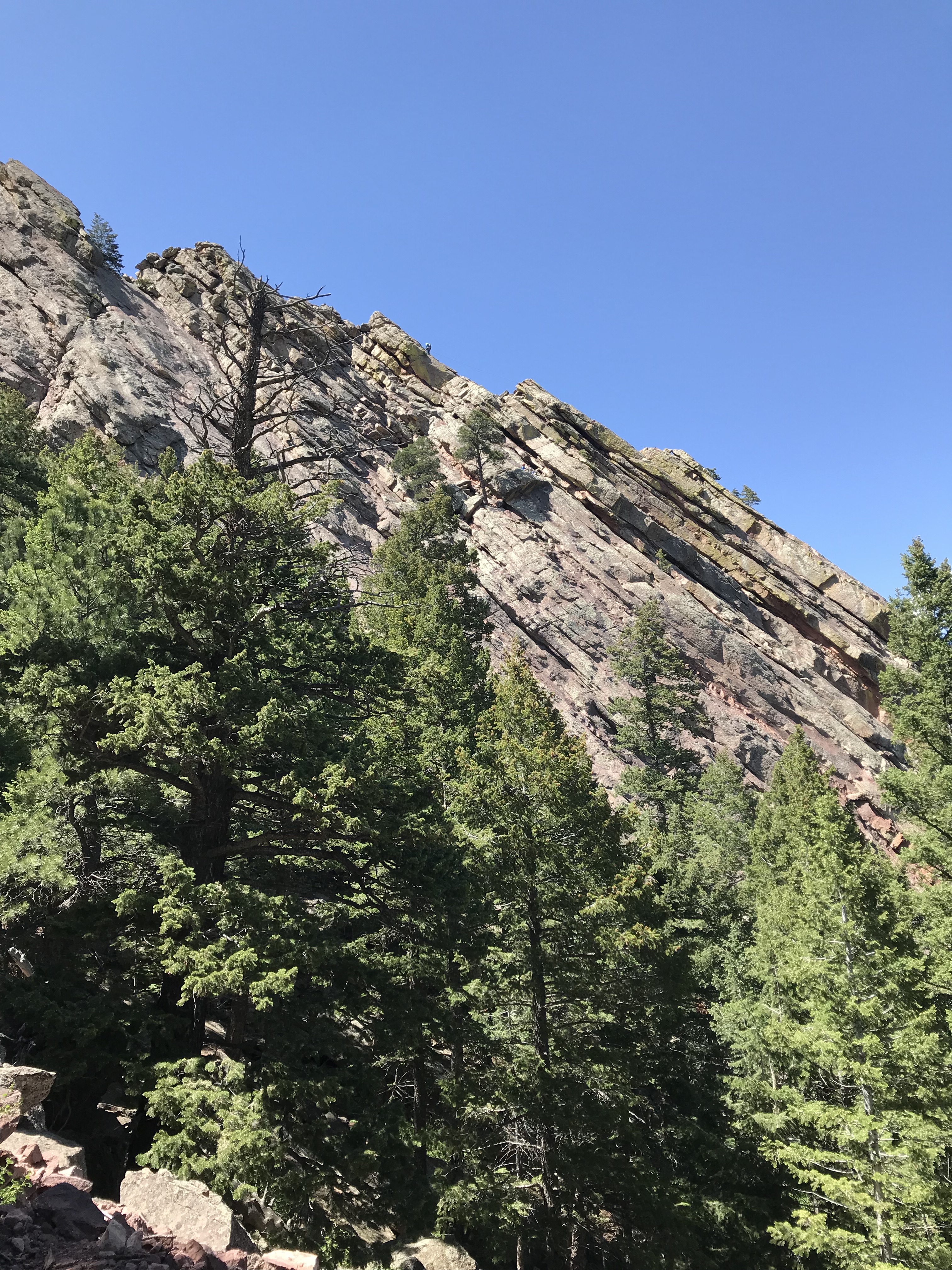
The VIEWS
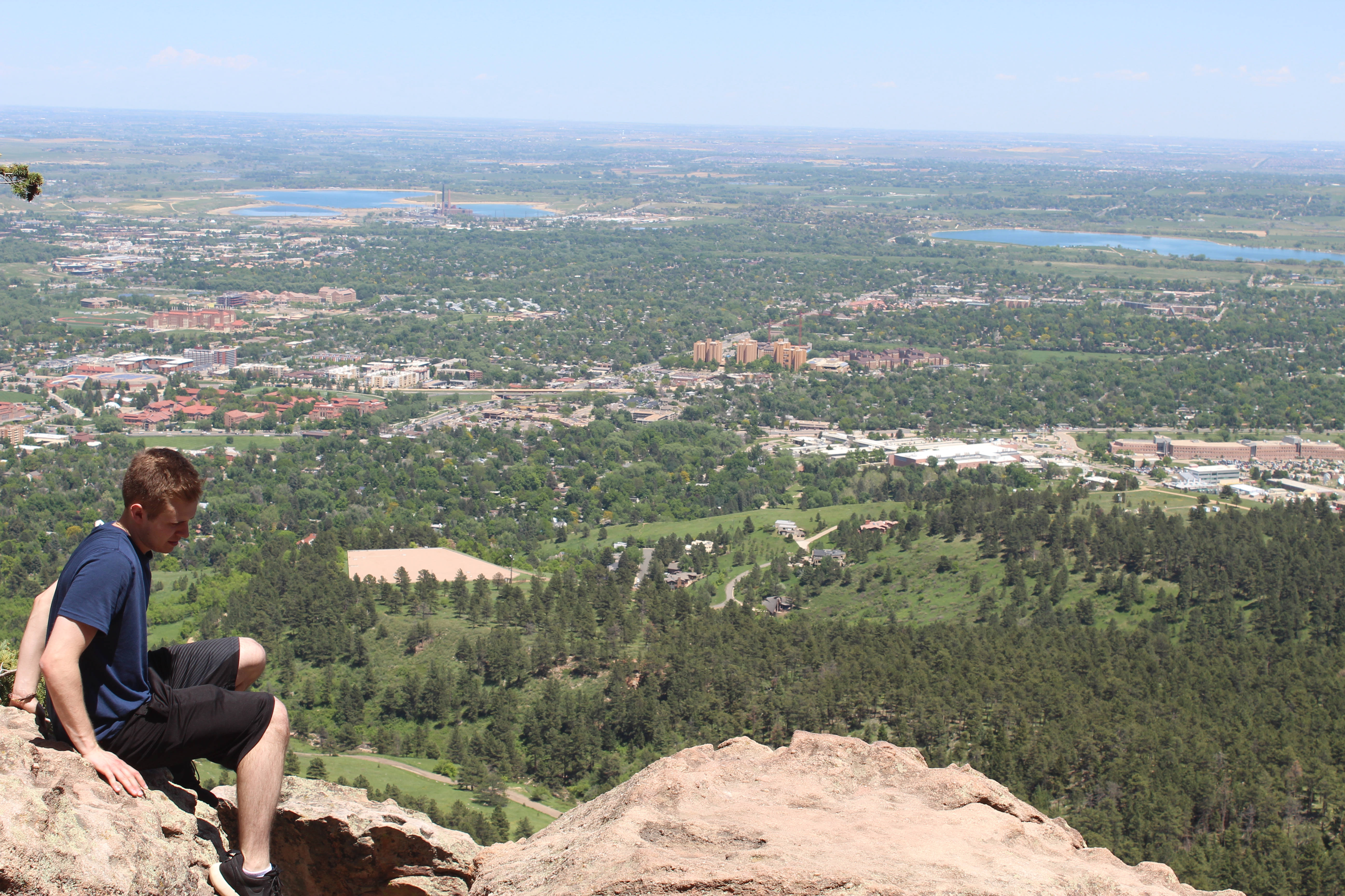
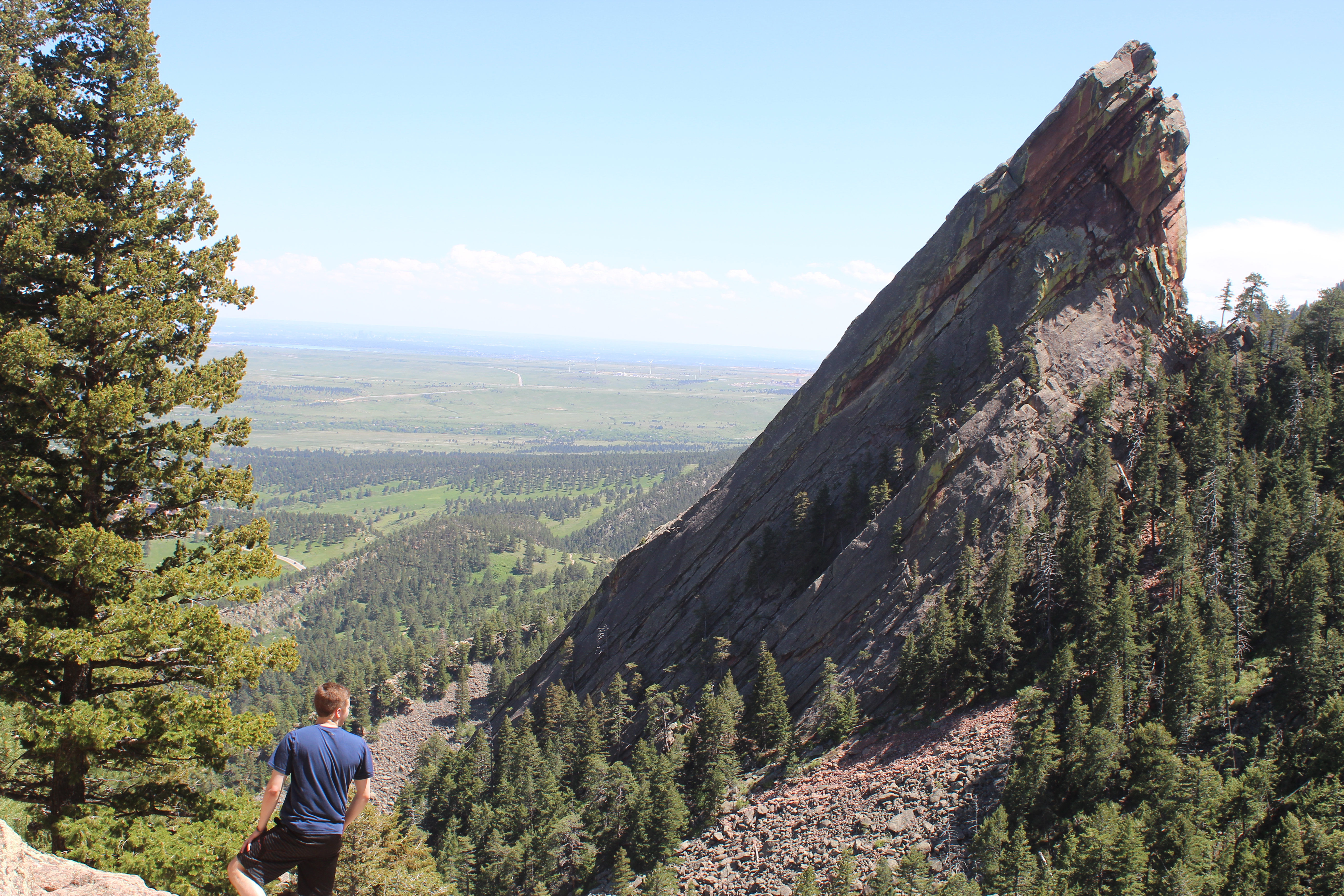
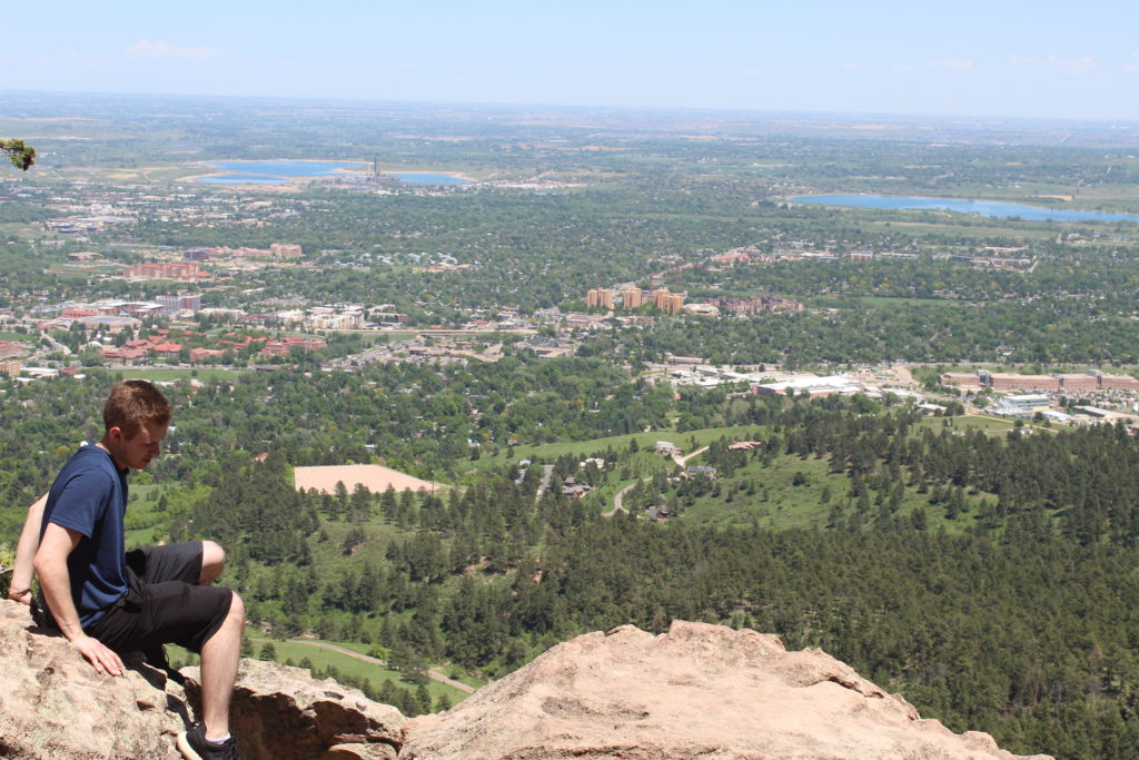
Once we were near the end of the hike at 7,000-ish feet above sea level, we made an effort to stop and take pictures from just about anywhere. I had never seen stone shoot out of the ground like this or be able to see a city from the top of a mountain. I highly recommend hiking the Flatirons if any of you Road Trip Warriors find yourself in Boulder, CO.
Descent
The descent is rather self-explanatory. We just went back down the way that we hiked up. Always be careful, but there really should be no issue for anyone getting back to the Chautauqua Park Meadow and parking lot.
Dog-Friendly
Chautauqua Park is dog-friendly as long as they remain on a leash. We saw plenty of beautiful pups enjoying the park and sunny day.
Fam-Friendly
This hike is family-friendly. The distance is not too strenuous, but there are a few spots where we had to use our hands to get up some larger rocks. I did not see any children going up into the Flatirons. Always be weary, cautious, and aware of everyones’ fitness level.
Clothes Worn
- Shorts
- T-shirt
- Sneaks
Gear Brought
- Canon Camera
- 3L of water
- Granola bars and almonds
- Extra clothes (t-shirts, shorts, socks)
Map
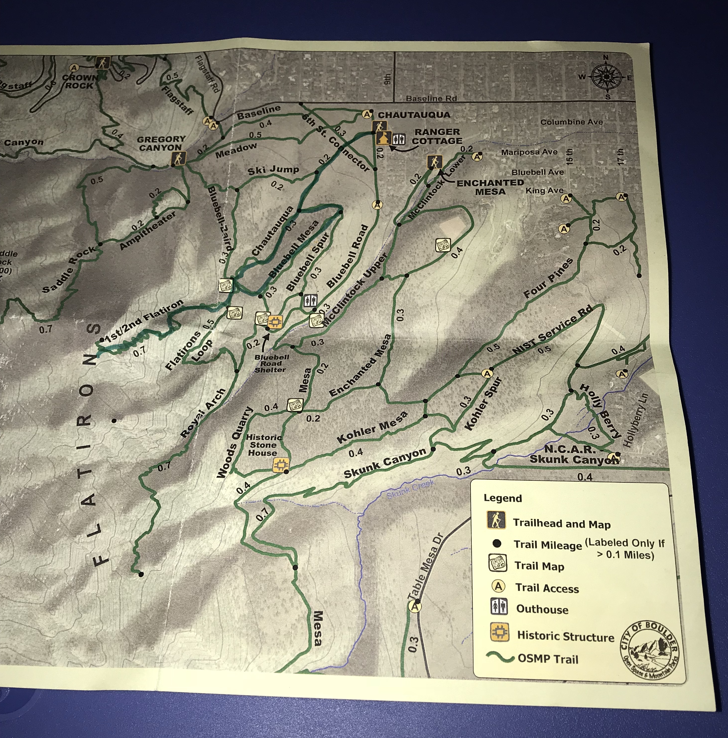
The darker green, highlighted route is the one the ranger marked for us. It starts at the Ranger Cottage and goes past the ski jump.
RTW Note
Road Trip Warriors, thank you for taking the time to read this and view the photos that I have taken from my adventures. It means a lot to me and I really appreciate it. I look forward to continue sharing the best information I can offer and encouraging outdoor activities! Hit me up in the comments on what you thought of this post, or if you have any adventures that you would want to share. I enjoy hearing the experiences that people have had while traveling!
-Ant

Stunning photos. Thank You.
Thank you for your kind words.